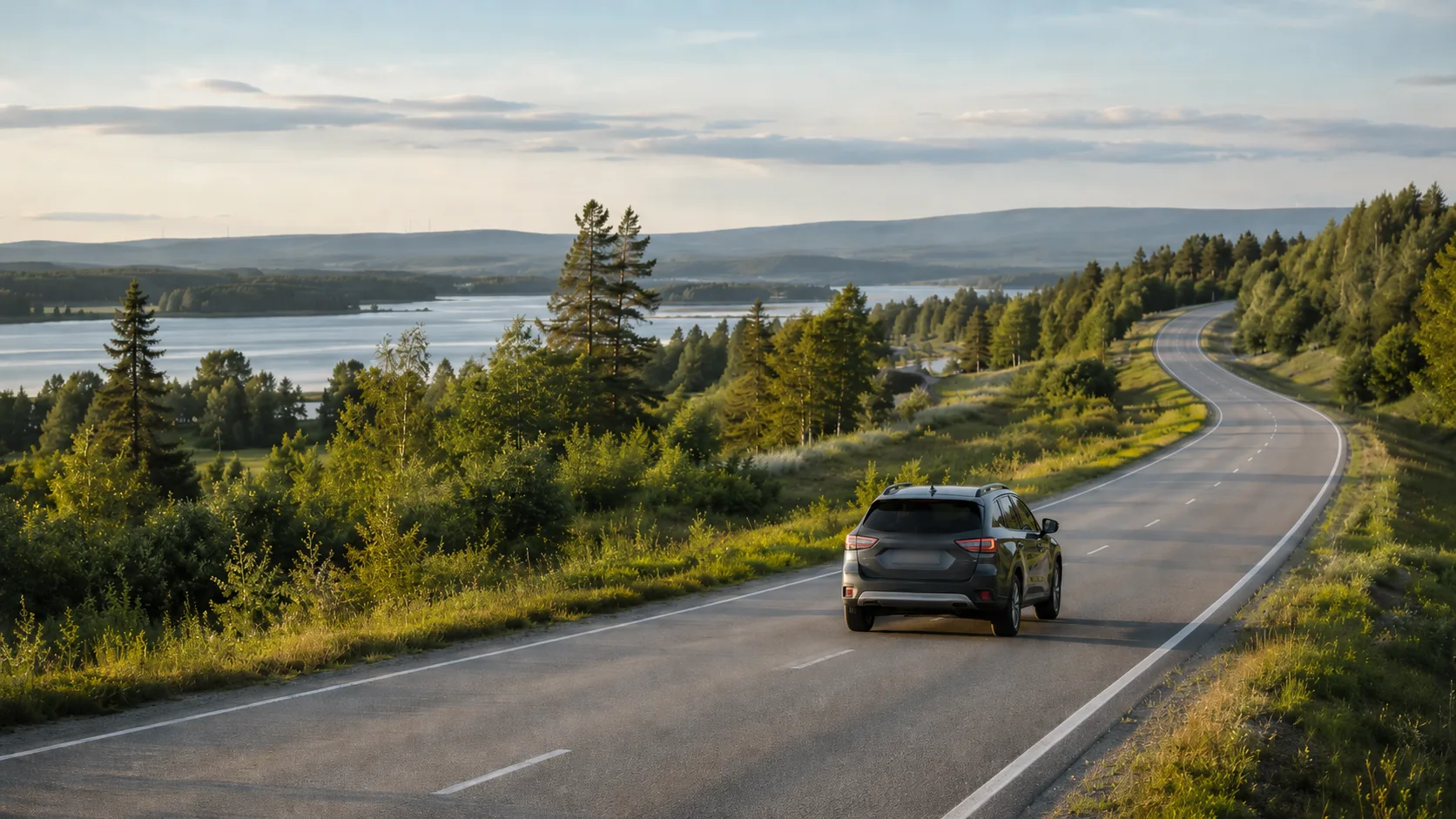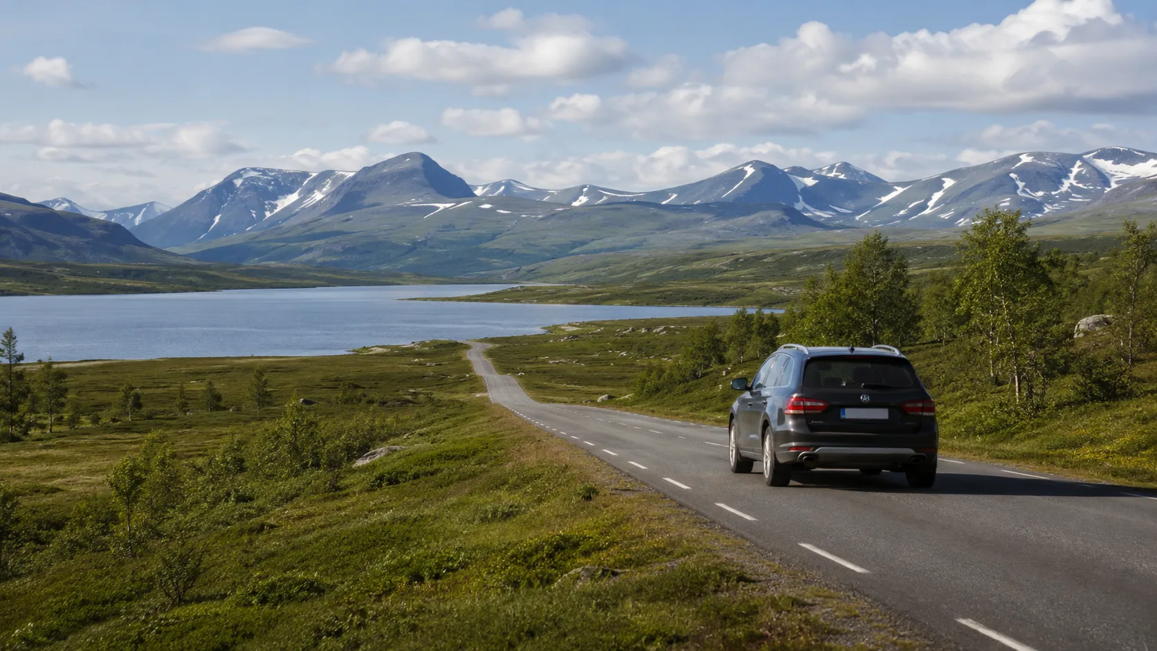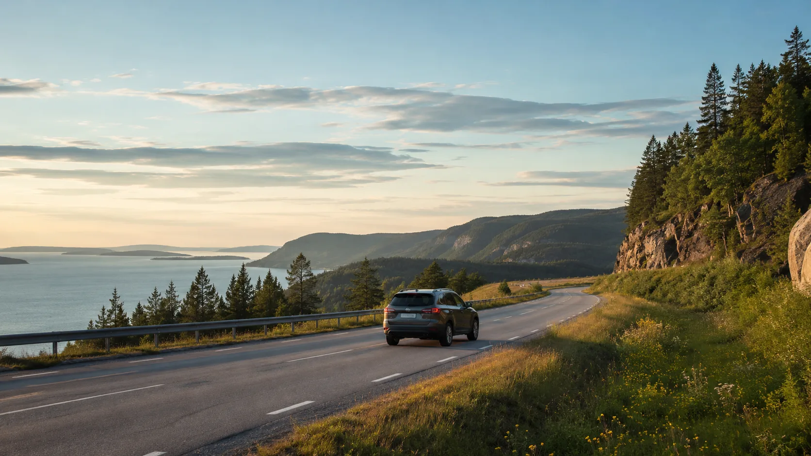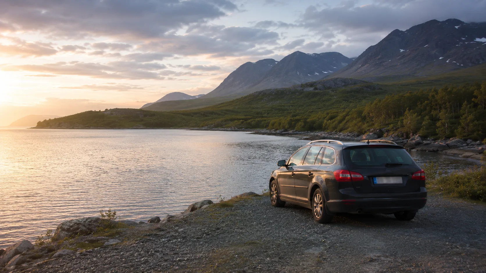
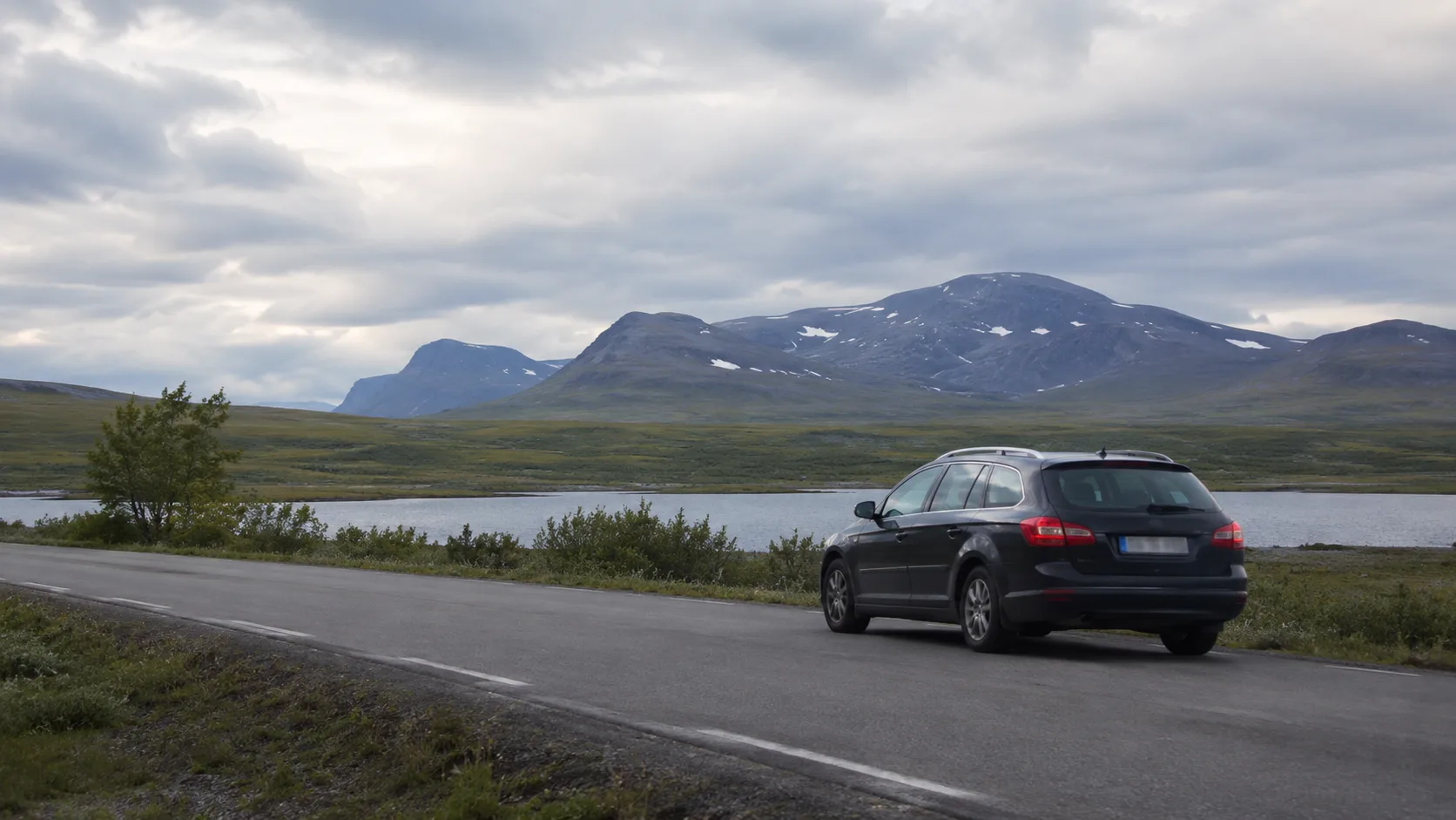
Norrbotten is large. Coast and mountains sit hundreds of kilometres apart along roads where coverage disappears and reindeer enter the carriageway. The distance itself becomes half the journey.
Mix the coast's islands and historic towns with inland cultural landscapes and mountains. Each requires another pace and another service margin.
1. Abisko
The E10 west from Kiruna approaches Nuolja, Lapporten and one of Sweden's most accessible high-mountain national parks. Shorter paths around Naturum make the canyon and mountain landscape approachable, while longer days belong on foot. Save trail crowding, parking and wind.
2. Kiruna
Mining, Sámi culture and the moving city meet in one extraordinary logistics stop. Parts of old Kiruna continue to change as the new centre grows. Verify current access to moved buildings, then replenish food, fuel and supplies before remote roads.
3. Stora Sjöfallet and Laponia
West of Porjus, the road follows regulated lakes into the Laponia World Heritage landscape towards Stuor Muorkke and Áhkká. It becomes narrower, rougher and more remote. Plan fuel, weather and equipment carefully.
4. Jokkmokk
Ájtte, duodji and the living landscape of Sápmi give necessary cultural context to the mountains. Jokkmokk is a strong fixed stop on an inland route, not simply a refuelling point.
5. Luleå archipelago
Flat islands, long beaches and brackish water contrast completely with the mountains. Summer boats reach Sandön, Junkön and Kluntarna, while several coastal places remain accessible by road. Save the sailing and quiet bay.
6. Gammelstad Church Town
More than 400 timber cottages surround the medieval church in Sweden's best-preserved church town. The UNESCO site explains how widely scattered parishioners stayed during church weekends and markets.
7. Piteå coast
Beyond Pite Havsbad, smaller beaches, marinas and agricultural coastal roads provide a slower family stop with strong service. Record which beach offered space and calm rather than merely the famous name.
8. Haparanda and Tornedalen
Swedish, Finnish and Meänkieli culture meet along the Torne River. Road 99 towards Kukkolaforsen follows one of the north's most underrated river routes. Check border and customs rules before spontaneous Finland detours.
9. Arjeplog
Thousands of lakes surround an inland town known internationally for winter vehicle testing. The road up Galtispuoda provides an accessible view across water and forest; use low gears and current conditions on the descent.
10. Gällivare and Dundret
Mining town and mountain sit close together. In the summer season, road access reaches high on Dundret for broad views towards Kebnekaise and Sarek in clear weather. Verify current road access before relying on the drive.
Build a private northern reference
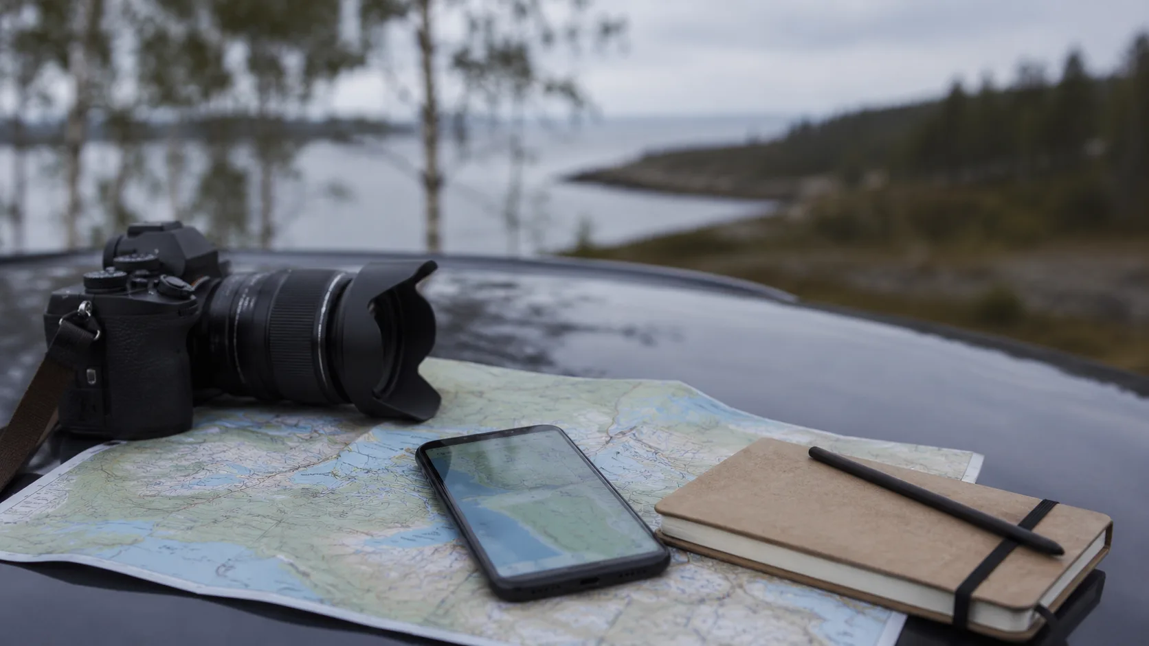
Record the Tornedalen road closure, Jokkmokk craftsperson, Lule River fika stop and mosquito or wind conditions beside each place. Use Log overnight stays and the trip map without publishing sensitive coordinates.
Frequently asked questions
How reliable is mobile coverage?
It is generally stronger on the coast and E4/E10, but can disappear for long periods on minor inland and mountain roads. Download offline maps.
How should I react to reindeer?
Reduce speed immediately and expect more animals nearby; they move freely and can remain in the road.
When is the best summer road-trip season?
July and August suit summer roads and walking; June can retain snowmelt, while September is colder and less stable.
Are fuel stations frequent inland?
No. Main towns provide service, but remote roads can have long gaps between unattended stations. Refill well before the warning light.