Two days around Umeå will not cover both the archipelago and the mountains. I would choose one part of Västerbotten first: the coastal islands, the Vindelälven valley or a longer trip towards Ammarnäs. These ten destinations are alternatives to build a journey around, not a checklist to finish.
1. Umeå and the Ume River
Use Umeå for food and culture, then find the paths and open landscapes around the river, Grössjön or Baggböle. It works at either end of the route, before long inland stages. Save parking that genuinely fitted a longer vehicle.
2. Norrbyskär – separate the island visit from the museum season
Norrbyskär preserves traces of the sawmill community established by Frans Kempe in the 1890s. For an ordinary day trip, I would leave the car in Norrbyn and explore on foot. Umeå municipality directs vehicle-transport enquiries to the ferry operator; do not assume you can simply drive aboard.
Norrbyskär Museum lists 13 June–16 August as its regular 2026 season. A ferry outside those dates does not mean the museum or café is open. Decide whether you want the exhibitions or a walk through the former sawmill community, then check transport for that day.
The municipality also reports work at the quays. Confirm the current departure point and return journey before travelling; older directions may not show where the boat now leaves.
3. Holmön – allow time for the ferry
The Holmöleden ferry runs from Norrfjärden to Holmön. The crossing is free and takes about 45 minutes: roughly 90 minutes aboard for the return trip, before waiting time and your visit ashore.
Book vehicle space with the ferry operator. A booked vehicle must reach the quay at least 20 minutes before departure; weather and water levels can affect the service. For a walking day, I would first plan as a foot passenger and carry what I need for the day.
Choose one island. Give it a day. With just two days around Umeå, I would spend the other in the city and beside the river, so a changed ferry does not shift the whole next driving stage. Confirm both crossings before leaving the mainland.
4. Skellefteå's wooden city
Bonnstan's church cottages, modern timber buildings and the river show old and new wood architecture. Skellefteå is also a useful base for the northern coast; note the district and river viewpoint worth returning to.
5. Byske and the northern coast
North of Skellefteå, long beaches, pine heaths and Byskeälven create a slower coastal alternative to the E4. Use minor roads towards Furuögrund and save the quiet beach access that worked without blocking local use.
6. Vindelälven
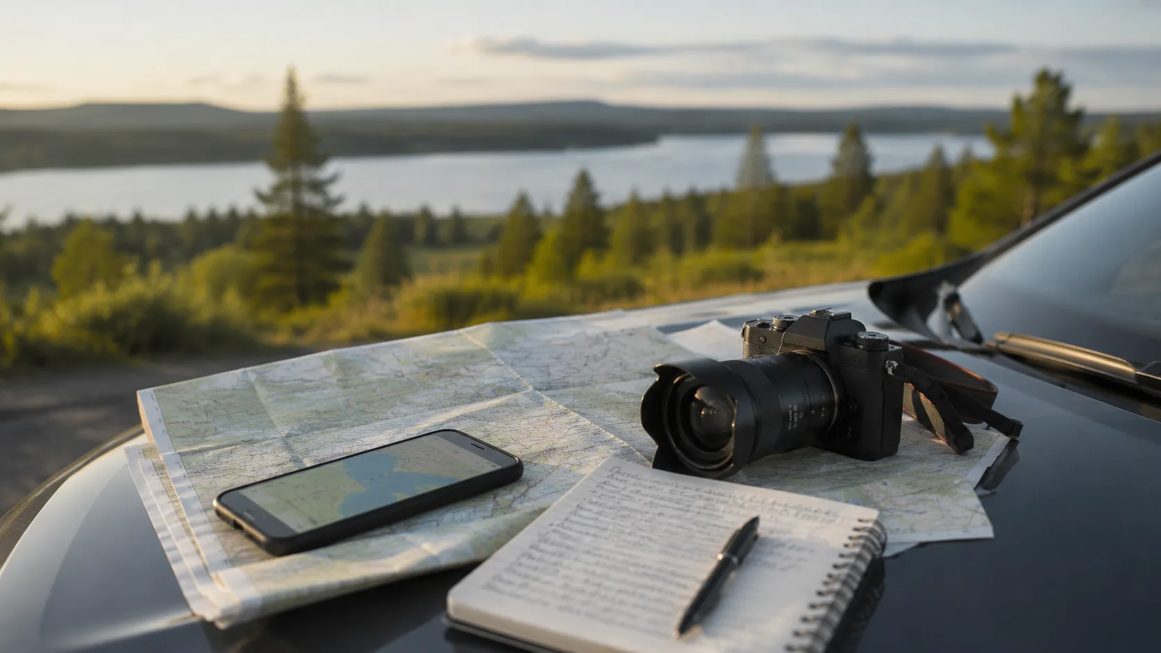
Road 363 follows one of Sweden's four national rivers past rapids such as Mårdseleforsen. The valley narrows and the forest deepens inland. Record bridge walks, road surface and the rapid that deserved a longer pause.
7. Lycksele
Lycksele is an inland service and cultural hub. Gammplatsen and its museums place forestry and Sámi history into context. Refill and plan fuel or charging before entering less populated districts.
8. Sorsele and Ammarnäs
At Ammarnäs, the road ends and Vindelfjällen begins. The village, Potatisbacken and major protected mountain landscape suit a route built around hiking or fishing. Check trail conditions, weather and local guidance.
9. Storuman and Vilhelmina
The E45 crosses broad lake and forest country through two classic inland towns. Vilhelmina's church town adds preserved timber cottages. Treat opening hours and service as part of the route rather than assuming the next community is close.
10. Kittelfjäll and Vojmådalen
West of Vilhelmina, sharp mountain walls and flowing water replace the gentler inland. The long approach and changeable mountain weather reward a dedicated visit. Save road condition and the precise trail entrance.
Save the visit you want to repeat
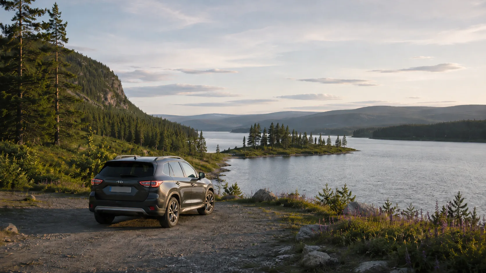
After an island day and a day in Umeå, the photographs can disappear among a hundred others on your phone. Save a stop at the place and choose the pictures to attach to that visit. In FARON, see stops and photographs on your private map when planning the next journey.
For a continuation north, see our Norrbotten destination guide.
Frequently asked questions
When is the best season for Västerbotten?
June through August provides long light and broad summer access; early autumn adds mountain colour and shorter days.
How should I plan fuel or charging inland?
Refill early because distances between communities can be long and individual stations may have limited hours.
Do I need four-wheel drive?
Most major destinations use paved roads; clearance can help on selected forest or mountain detours but does not guarantee access.
Can I take a car to both islands?
Holmön takes booked vehicles with limited capacity; confirm space with the ferry operator. For an ordinary Norrbyskär day trip, leave the car on the mainland, while any special vehicle transport needs to be arranged with its operator.