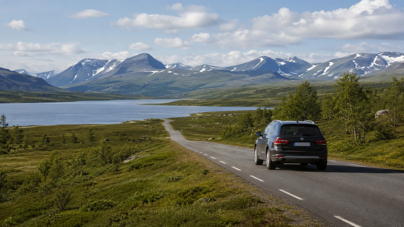
Jämtland opens beyond the southern forests: distant mountain edges, broad lakes and long roads following the terrain. Distances still deceive, and the difference between transport and travel lies in stops and detours.
Build the route around changing landscapes
Use a few anchors where forest becomes mountain and lake becomes valley. For a smaller first circuit, follow the three-to-five-day route from Östersund towards Åre.
1. Wilderness Road and Frostviken
North of Strömsund, forests break into canyons, waterfalls and the Stekenjokk plateau. The full Wilderness Road is seasonal, while bird protection and temporary parking restrictions can limit stopping. Check the year's official opening and plan every night outside restricted sections.
2. Åre and Undersåker
Åredalen makes mountain terrain unusually accessible and combines walking with restaurants and service. Central Åre can be tight for a large motorhome or trailer in July, making Undersåker a useful calmer base. Verify current long-vehicle parking.
3. Vålådalen Nature Reserve
The road ends among old forest, mires and surrounding peaks. Vålådalen starts both day walks and longer routes, but parking, trail works and reserve rules change. Plan a vehicle night separately from the hike and read current County Administrative Board information.
4. Frösön and Östersund
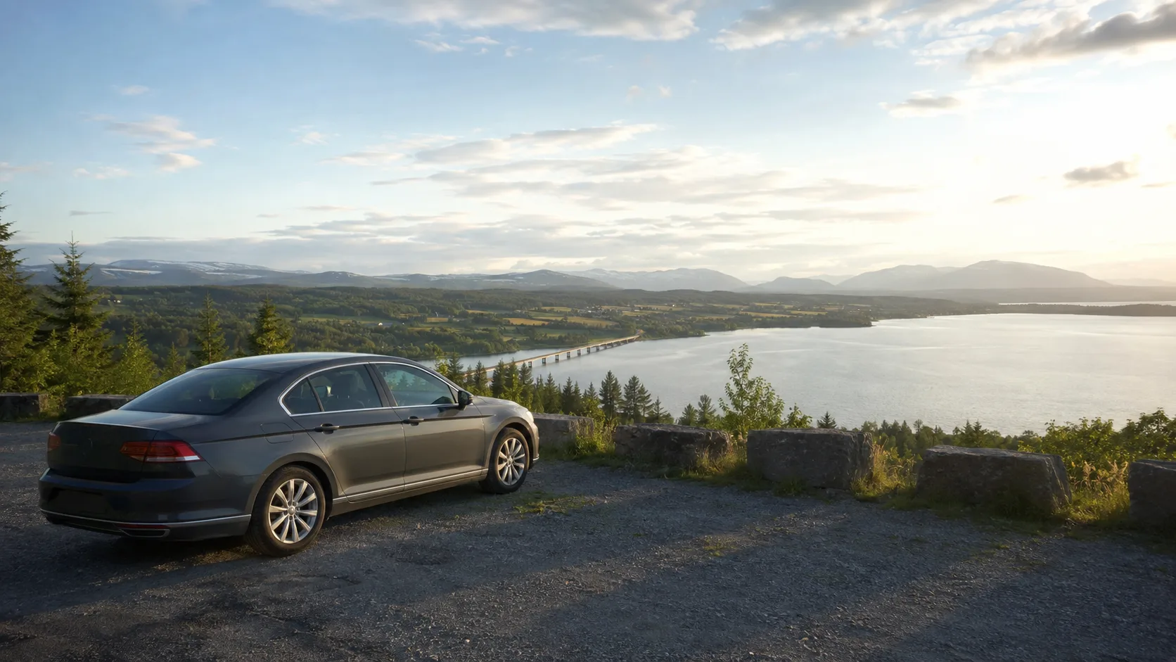
Östersund supplies the wider region; Frösön adds church, farmland roads and views across Storsjön towards the western mountains. Use the area for provisions, laundry and a pause from remote travel, then save the small viewpoint that actually fitted the vehicle.
5. Storsjön and Hoverberget
Road ferries and narrow lake roads cross the agricultural district around Storsjön. Hoverberget rises at its southern end with a deep fissure cave and wide view. Record useful ferry times and turning places for a larger vehicle.
6. Funäsfjällen and Flatruet
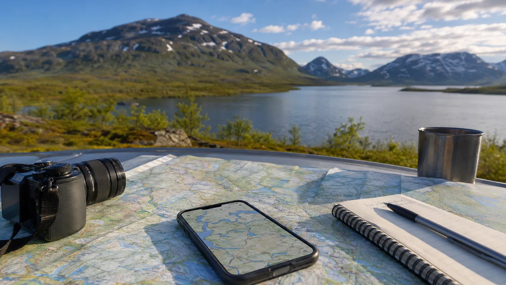
Flatruetvägen reaches 975 metres above sea level across an exposed gravel plateau. Weather can close it outside the core season. Stop only where permitted; an open gravel surface does not automatically authorise a rooftop-tent night, and wind shelter is absent.
7. Helags and Ljungdalen
Ljungdalen is the road end for walks towards Helags, Sweden's highest mountain south of the Arctic Circle. The long approach can be steep and rough in places. Check surface, fuel and current access instead of assuming the final village offers every service.
8. Sonfjället National Park
This isolated mountain rises from old pine forest and brown-bear country. The Nyvallen road is narrow and winding. Ground tents are subject to park rules, while motorhomes, caravans and vehicles with rooftop tents cannot treat parking as ordinary tent access. Verify current regulations.
9. Ragunda valley and Döda Fallet
Döda Fallet records the 1796 drainage disaster that silenced one of Sweden's largest waterfalls. The Thai Pavilion at Utanede adds a striking contrast. River roads through Ragunda offer broad views and a useful eastern motorhome route.
10. Minor roads through mountain villages
Valsjöbyn, Klövsjö, Skålan and similar villages add farms, dairies, shops and roads away from the ski resorts. Spring frost damage and limited opening hours require patience, but these detours reveal the county's lived landscape.
Keep a private Jämtland reference
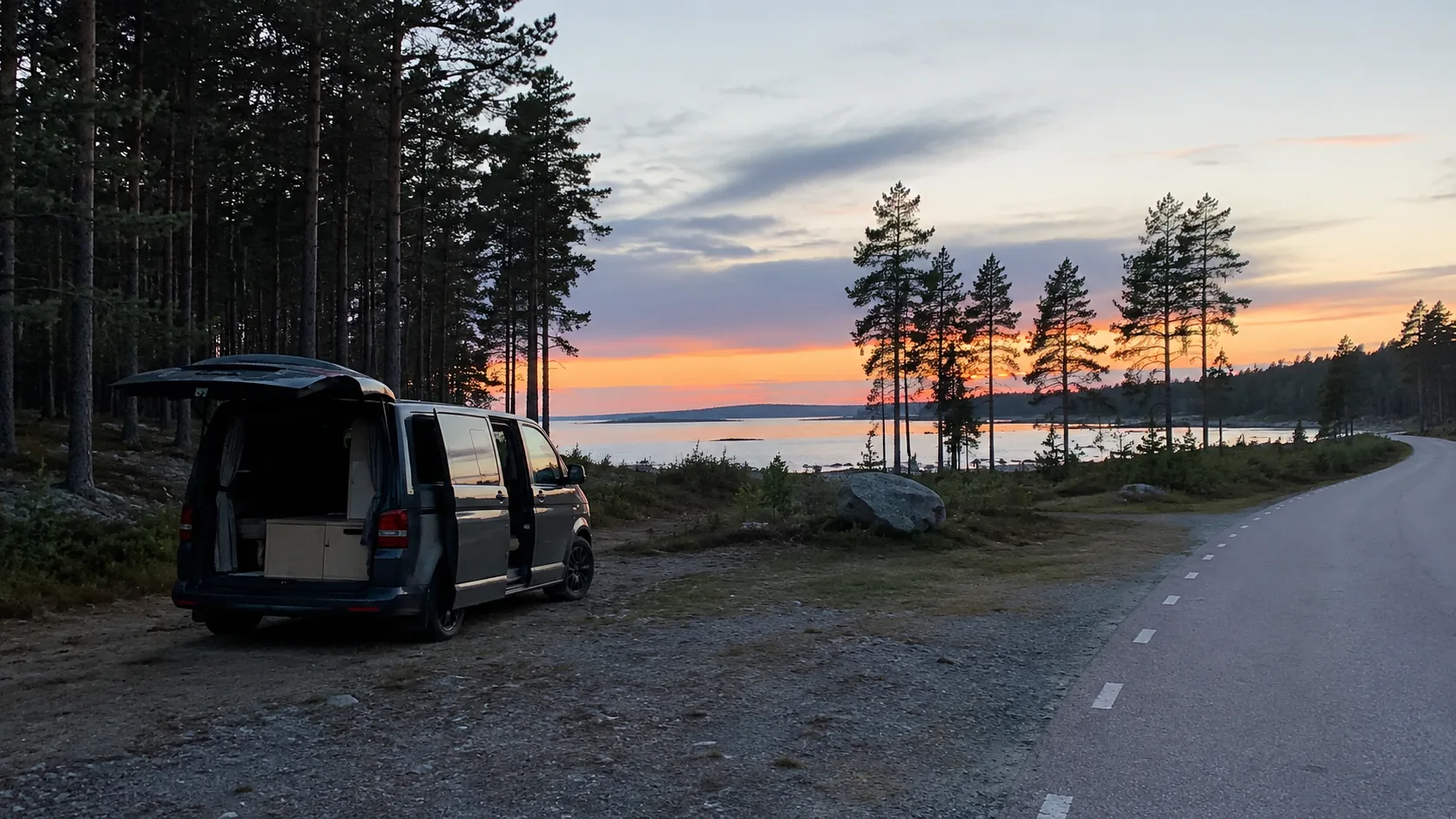
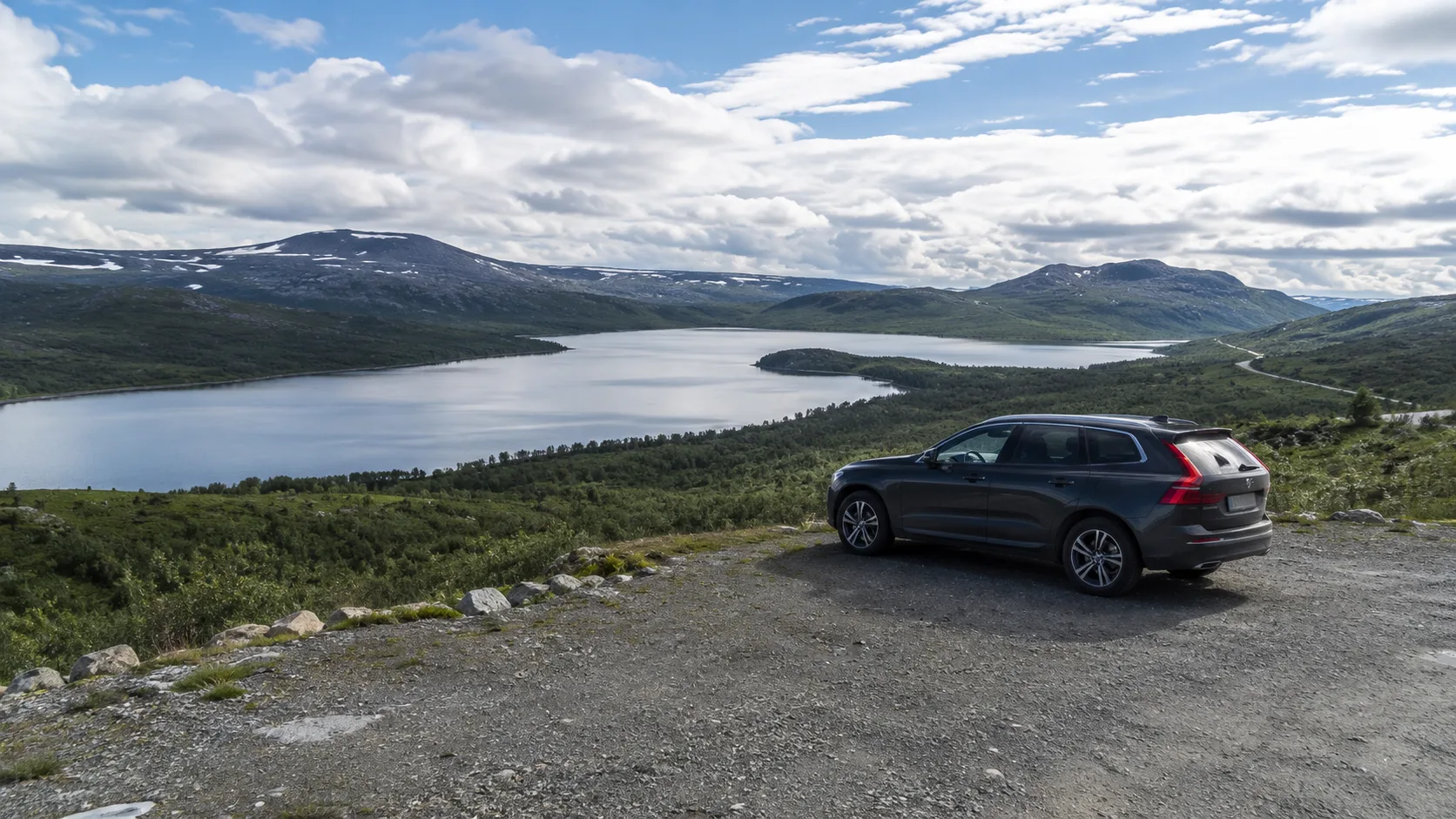
The unplanned lakeside pause, trail parking and Monday-closed village shop disappear before Åre and Storsjön. Save the surface, evening light, vehicle fit and date on the private trip map. Those practical entries make the next mountain route your own.
Frequently asked questions
When is the best season for a Jämtland road trip?
Midsummer to mid-September is the main season, but mountain-road access always depends on current snow, weather and maintenance.
Do I need four-wheel drive?
No for most destinations and main roads. Higher clearance or four-wheel drive can help on selected minor roads during poor conditions, but does not replace access checks.
Where may I stay with a vehicle or rooftop tent?
Only where vehicle parking and any overnight stay are permitted; protected areas apply their own camping, fire and parking rules.
Where can I check mountain-road conditions?
Use the Swedish Transport Administration for current roads and the County Administrative Board or local visitor authority for minor-road and protected-area notices.