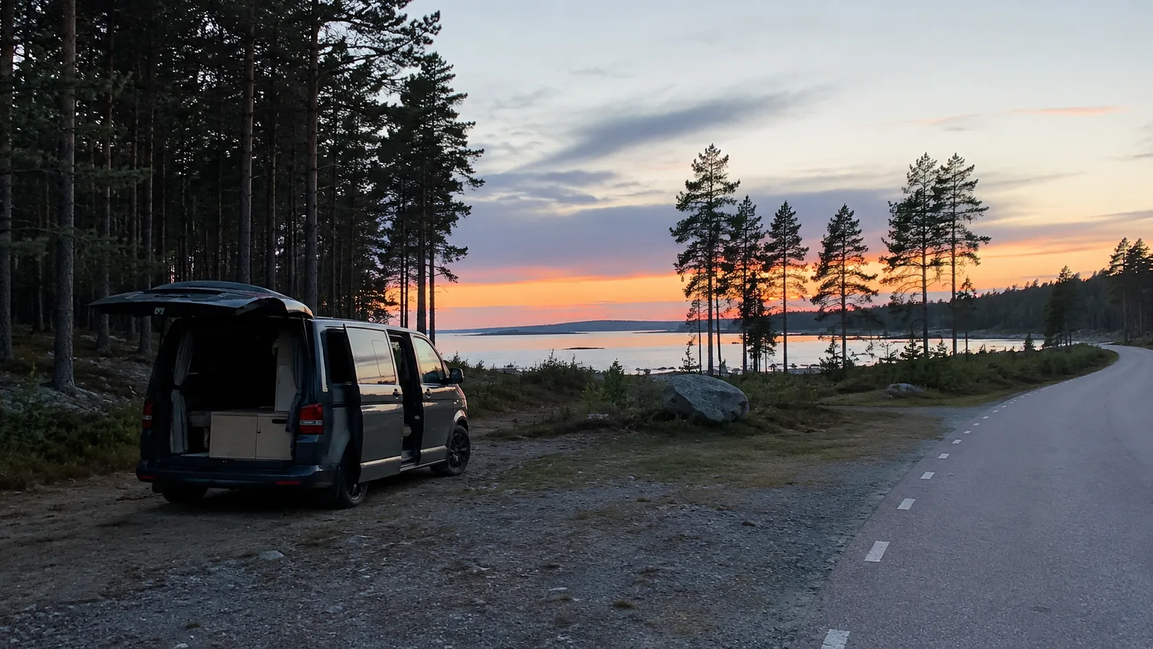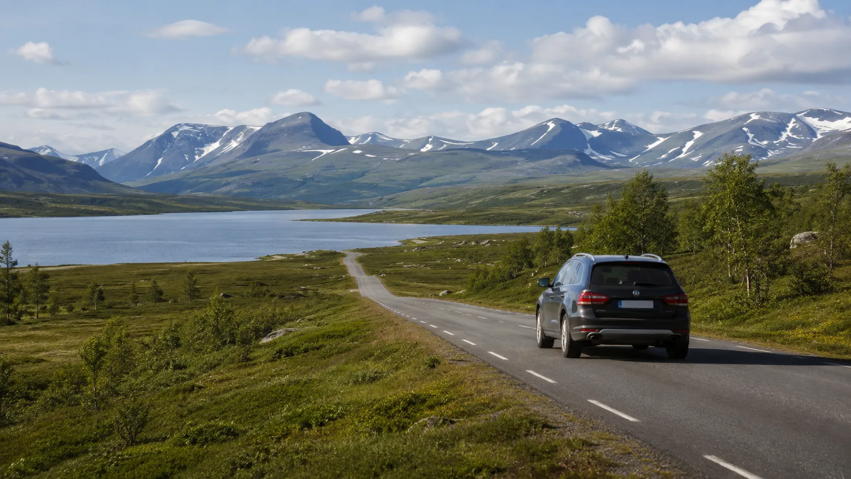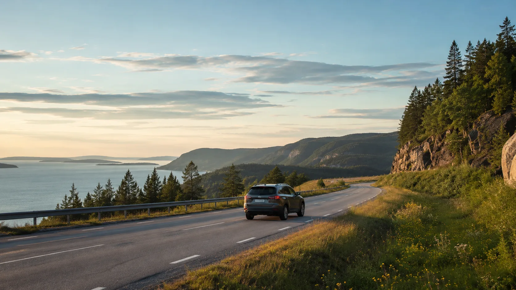
Västernorrland shifts between steep coast, open sea and deep river valleys. Coastal roads climb and curve; inland roads follow water at another pace. A car, motorhome, van or rooftop tent works well when road quality and elevation remain part of the plan.
1. Nordingrå and its narrow coastal roads
Leave the E4 for valleys, sea inlets and fishing villages such as Bönhamn and Barsta. Roads are narrow, winding and steep enough to slow a large motorhome or caravan. Give the district time and record the section that felt too tight.
2. Skuleberget
The mountain beside the E4 introduces the High Coast's post-glacial land uplift. Walking, via ferrata and seasonal summit access make it useful for different groups. Parking fills in high summer, so arrive early or late.
3. Skuleskogen National Park
Deep fissures, boulder fields and old forest begin north of Skuleberget. The south, west and north entrances have different approach roads; the western climb can be difficult in wet shoulder-season conditions. Save the entrance used and follow the park's specific fire and tent rules.
4. Ulvön
Leave the vehicle on the mainland and take an archipelago boat from Köpmanholmen, Ullånger or Docksta. The old fishing community, narrow lanes and fermented-herring history provide a useful break from driving. Check current sailing and parking information.
5. Härnösand and Smitingen
Härnösand combines wooden districts with a gateway position. On Härnön, Smitingen adds sand, sea caves and wave-shaped rock. The road and parking suit larger vehicles better than many Nordingrå lanes, but exposed weather still determines the day.
6. Sundsvall and Alnön
Sundsvall's Stone City contrasts with volcanic Alnön, its fishing villages and bathing bays. A circuit of the island makes an easy day; note the turning places when travelling with a long combination.
7. Ljungan valley and Ånge
West of Sundsvall, the E14 follows the river into forest and lake country. Ånge is a service junction and a link towards Jämtland. Traffic is lighter than on the coast, but fuel and charging points deserve explicit planning.
8. Ångermanälven and Sollefteå
River, hydroelectric history and steep sandy banks give the inland another scale. Roads 87 and 90 offer viewpoints with more room than the coastal lanes. Save the bank or pull-off that produced the evening view without blocking access.
9. Junsele and the deep inland
Further upstream, pine heaths and broad mires replace the High Coast. Distances between communities grow and minor roads can remain damaged after winter. Slow down and keep more fuel or charge in reserve.
10. The old coastal road south of Härnösand
Choose smaller coastal communities, industrial heritage and forest instead of the E4. The road takes longer, bends more and offers more local character. It is a detour for a day when the journey itself is the objective.
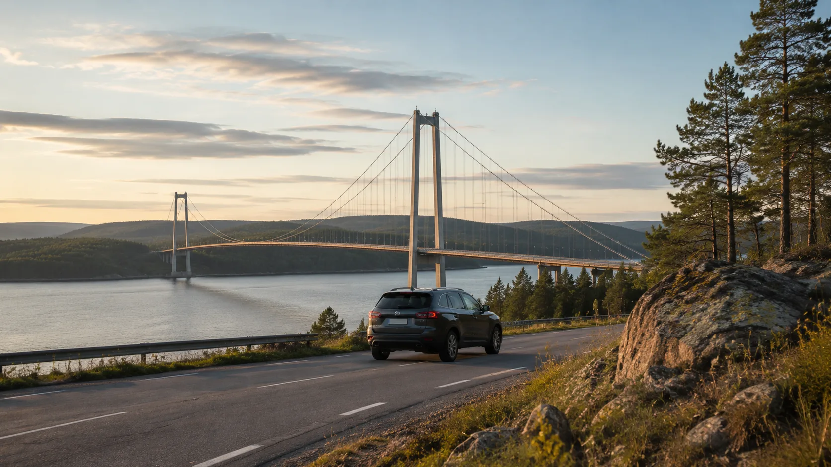
Save the details between coast and river
The level Skuleskogen parking space, Nordingrå farm shop and late sun beside Ångermanälven rarely appear in a national list. Keep the night, position, photograph and vehicle note on the trip map, then connect the county with a later northbound route.
Frequently asked questions
When is the best season for Västernorrland?
June through August provides the broadest visitor access; September adds clear autumn days and colour with shorter daylight.
Can large motorhomes use Nordingrå's roads?
Yes, but expect narrow, winding, steep sections and use passing places defensively around cyclists and walkers.
Should I book the Ulvön boat?
Advance passenger booking is wise during high-summer weekends, especially with a bicycle; confirm the operator's current terms.
Are fuel and charging readily available inland?
Main routes such as the E14 and road 90 are served, but minor inland roads require larger margins and planned stops.