Overlanding is not merely movement from A to B. It combines self-sufficiency, remote travel and the decisions forced by terrain and weather. A map can show a road; it rarely remembers why you turned back, how the surface behaved or whether the exposed overnight place was worth the view.
The useful record begins where navigation ends: road condition, wind, ground, obstacles and the small choices that turned a planned route into the trip you actually made.
Treat the route as a living document
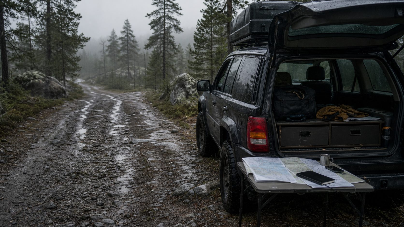
A forestry road that looks firm in satellite imagery may become mud after heavy rain. A gate can block the promised passage, sharp rock can reduce speed to a crawl and overgrowth can make vehicle damage more likely.
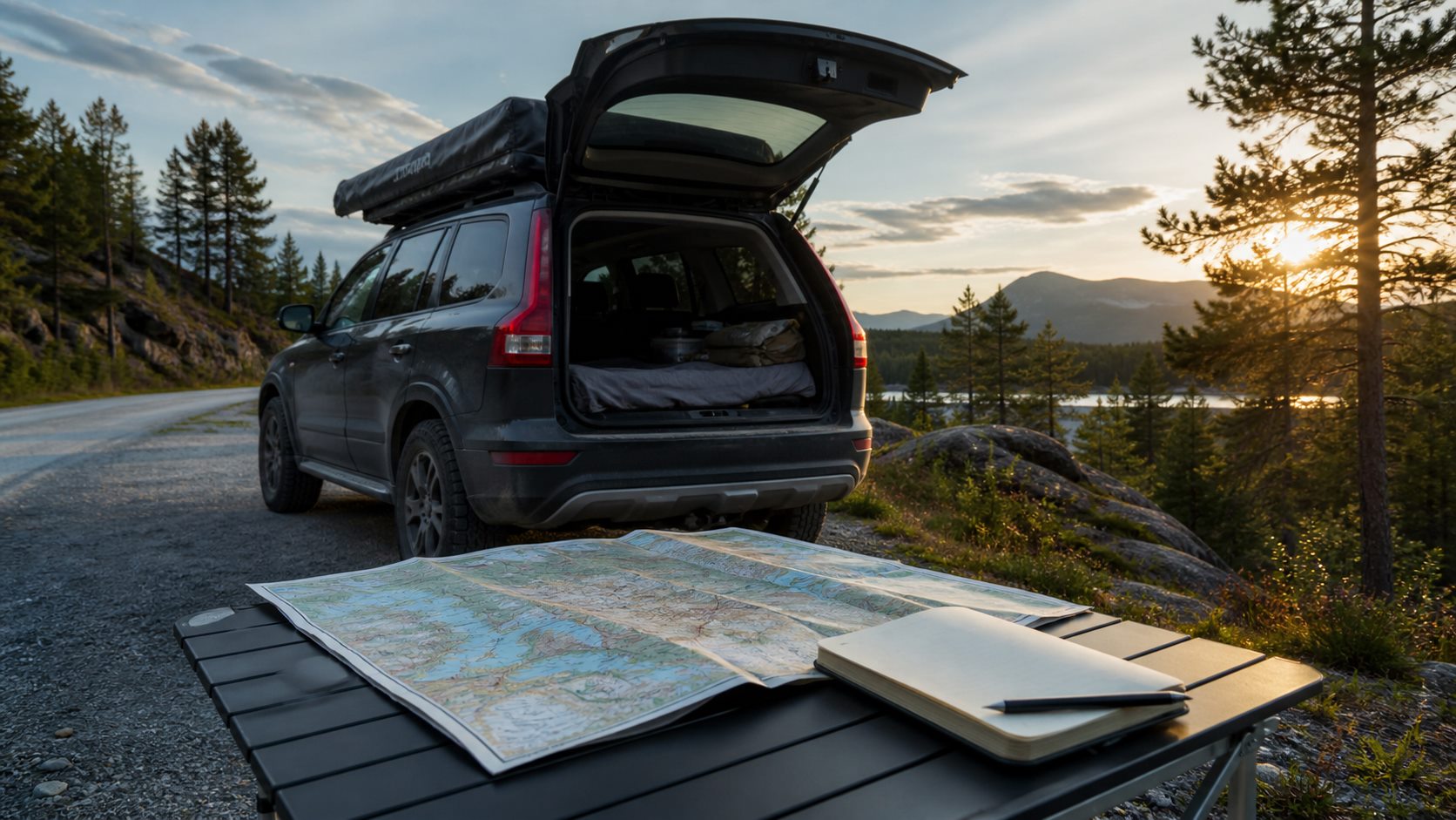
Record the intended route and the places where reality changed it. Notes such as “avoid when wet”, “deep ruts need clearance” and “turn around before the narrow bridge” retain the context that a line on a map cannot.
The decision itself matters. Why did you choose the left branch instead of the navigator's right one? Why did you turn back? Short answers create a field guide for your own vehicle, judgement and tolerance for risk.
Judge nights by function as well as scenery
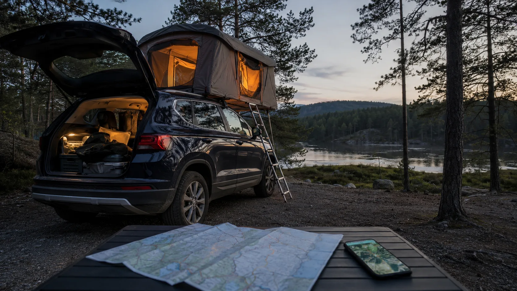
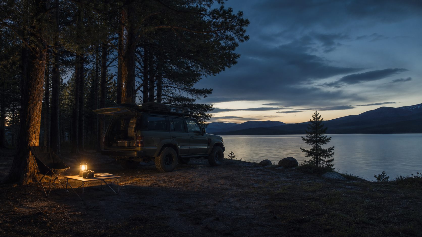
The cliff edge with a huge view can be a poor camp when wind rises, the ground is soft or no level space fits a rooftop tent. Shelter, firm ground, a workable setup and a quiet night often matter more than the photograph.
Save an image of how the vehicle stood and explain why the place worked. Include wind exposure, surface, level, departure and whether other activity changed after dark.
Unplanned stops belong in the archive too: shade for lunch, a useful local shop or a water point whose current safety still needs verification. Small. Practical. Often these are the details that rescue a difficult day and disappear first from memory.
Connect photographs to place and time
After several trips, a gravel road in Dalarna begins to resemble one in Värmland. A photograph of mud has little planning value without its position, date and the conditions that caused it.
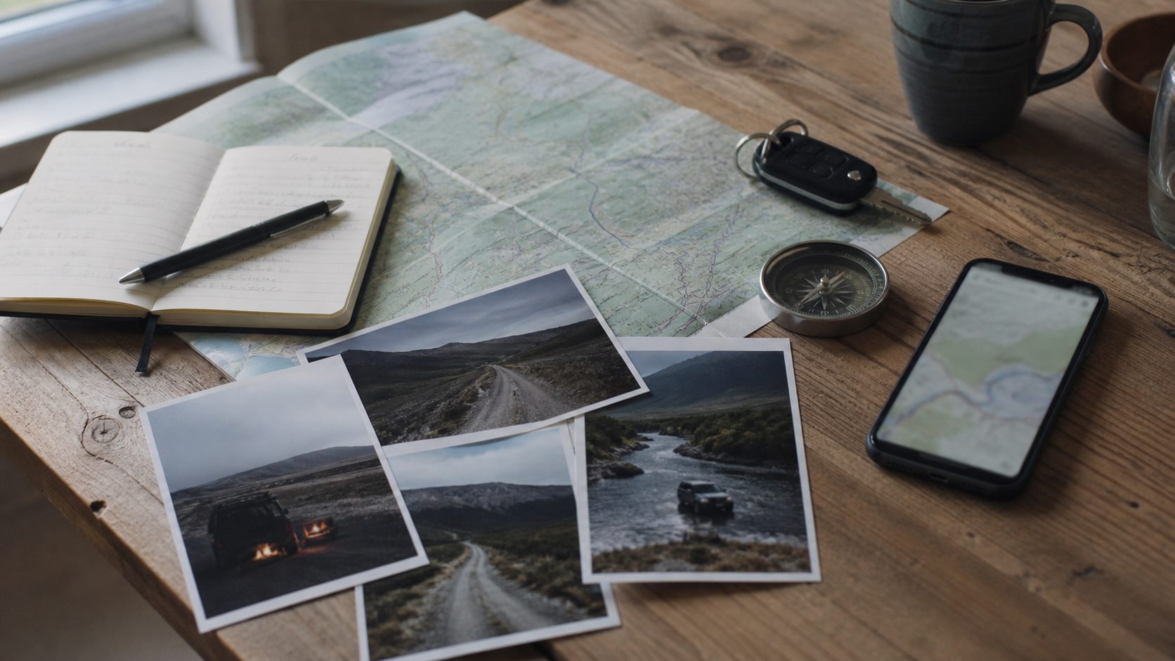
Connect each image to a stop or route note. Then the archive can answer useful questions next season: where was the firm sheltered ground, which road failed after rain and which detour consumed half a day?
Do not treat an old record as live intelligence. Gates, rules, weather and surfaces change. Your archive preserves experience; present conditions still decide the next move.
Separate navigation from archiving
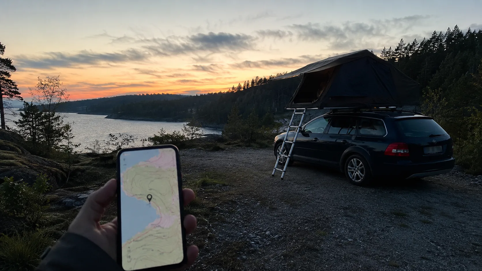
Navigation is about the present: where am I and how might I reach the next point? Archiving is about reuse: what happened here, what did I learn and what should I do differently?
Crowdsourced camping and mapping tools can help locate possibilities. A private archive holds personal notes and places you do not want to publish. Both can be useful without pretending to perform the same job.
Keep a private overlanding record in FARON
FARON complements navigation and weather tools by collecting the result after the drive: routes, nights, stops, photographs and lessons on one private map. It does not continuously track your vehicle or decide whether a road is passable.
Save the planned line, actual stops and notes about surface, wind, access and setup through the overlanding archive. Travellers with a rooftop tent can retain which places were genuinely level, while the trip map keeps the wider journey visible.
Over several seasons, isolated notes become your own reference system. The spectacular but impractical cliff, the shaded lunch stop and the branch that avoided deep ruts remain usable knowledge instead of vague memories.
Frequently asked questions
What should an overlanding app help me record?
It should connect routes, nights and stops with photographs and notes about ground, weather, access, obstacles and decisions.
How is an overlanding archive different from navigation?
Navigation helps with the current journey; an archive preserves what happened and why so the experience can inform a later trip.
How do I retain overlanding lessons over time?
Record planned and unplanned events consistently, linking each short note and image to its position and trip while memory is fresh.
When is FARON useful for overlanding?
FARON suits travellers who want a private, reusable record of their own routes, nights, stops and lessons alongside separate navigation tools.