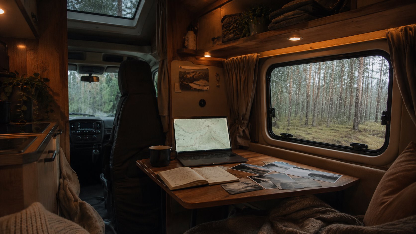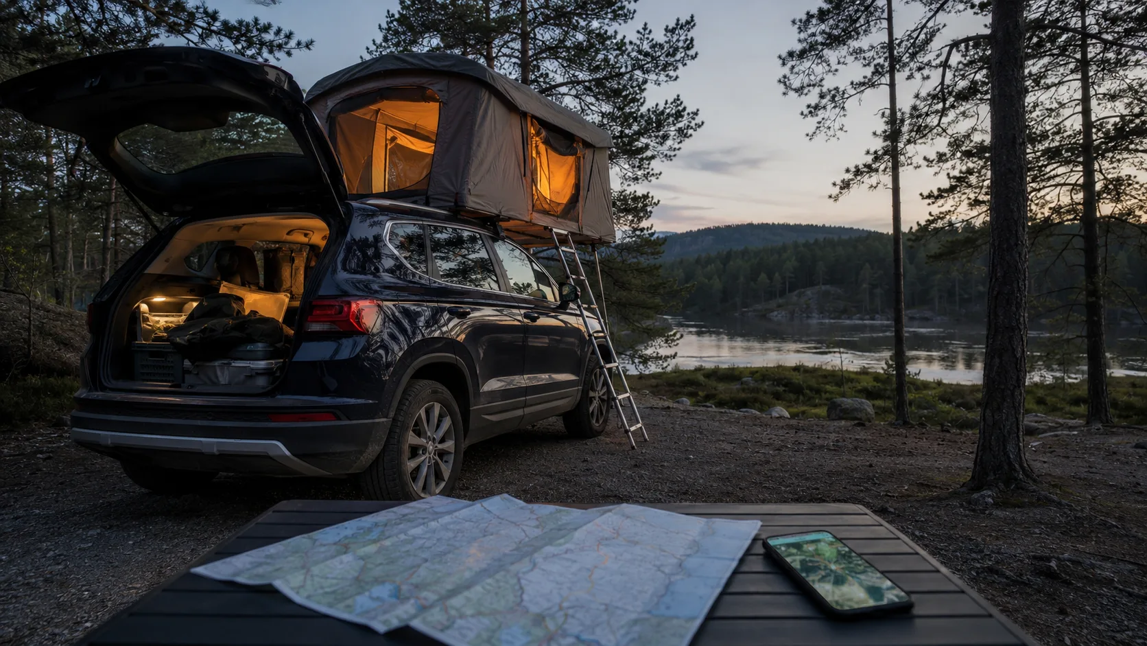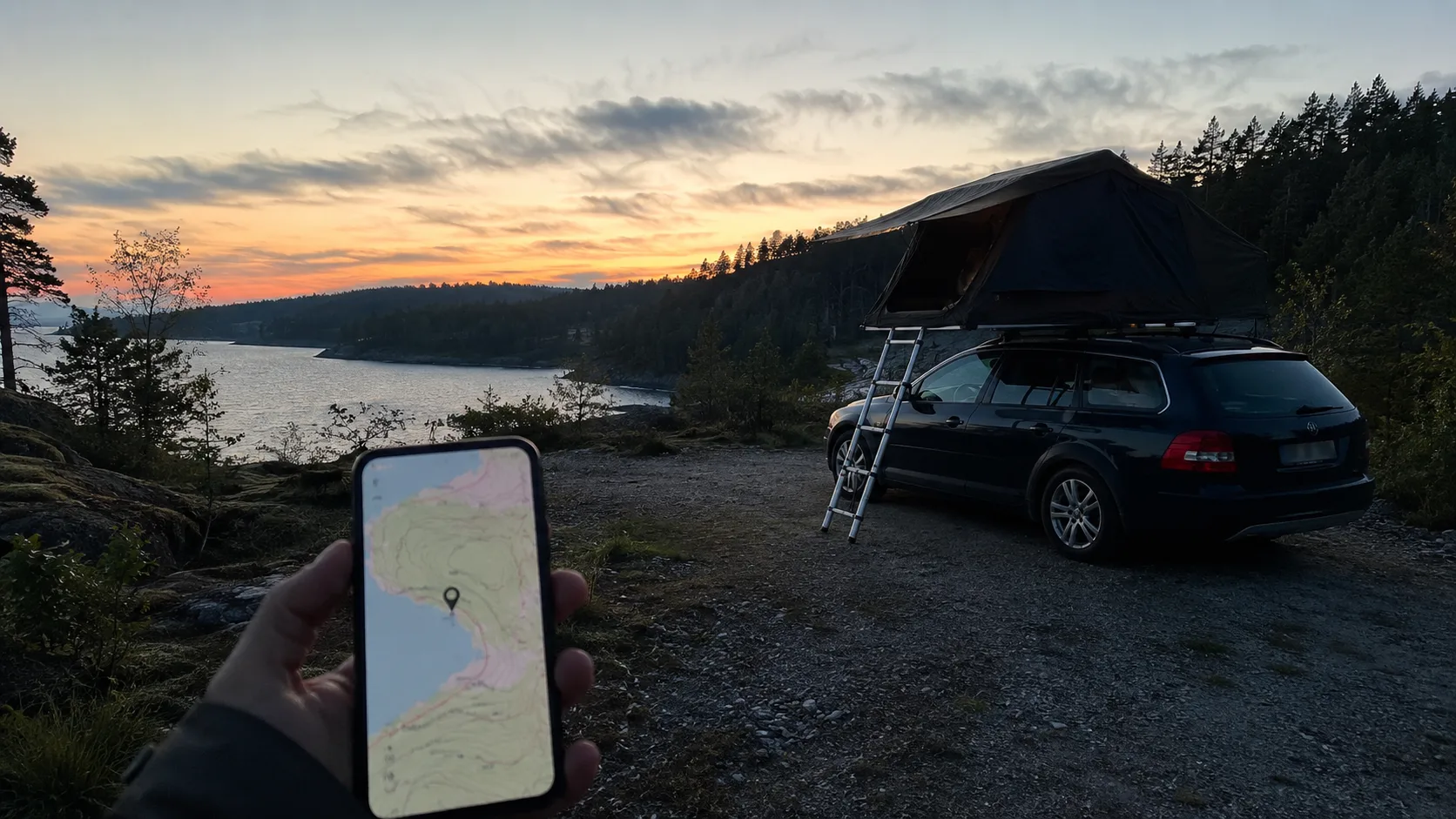
When memory fails on a forest road
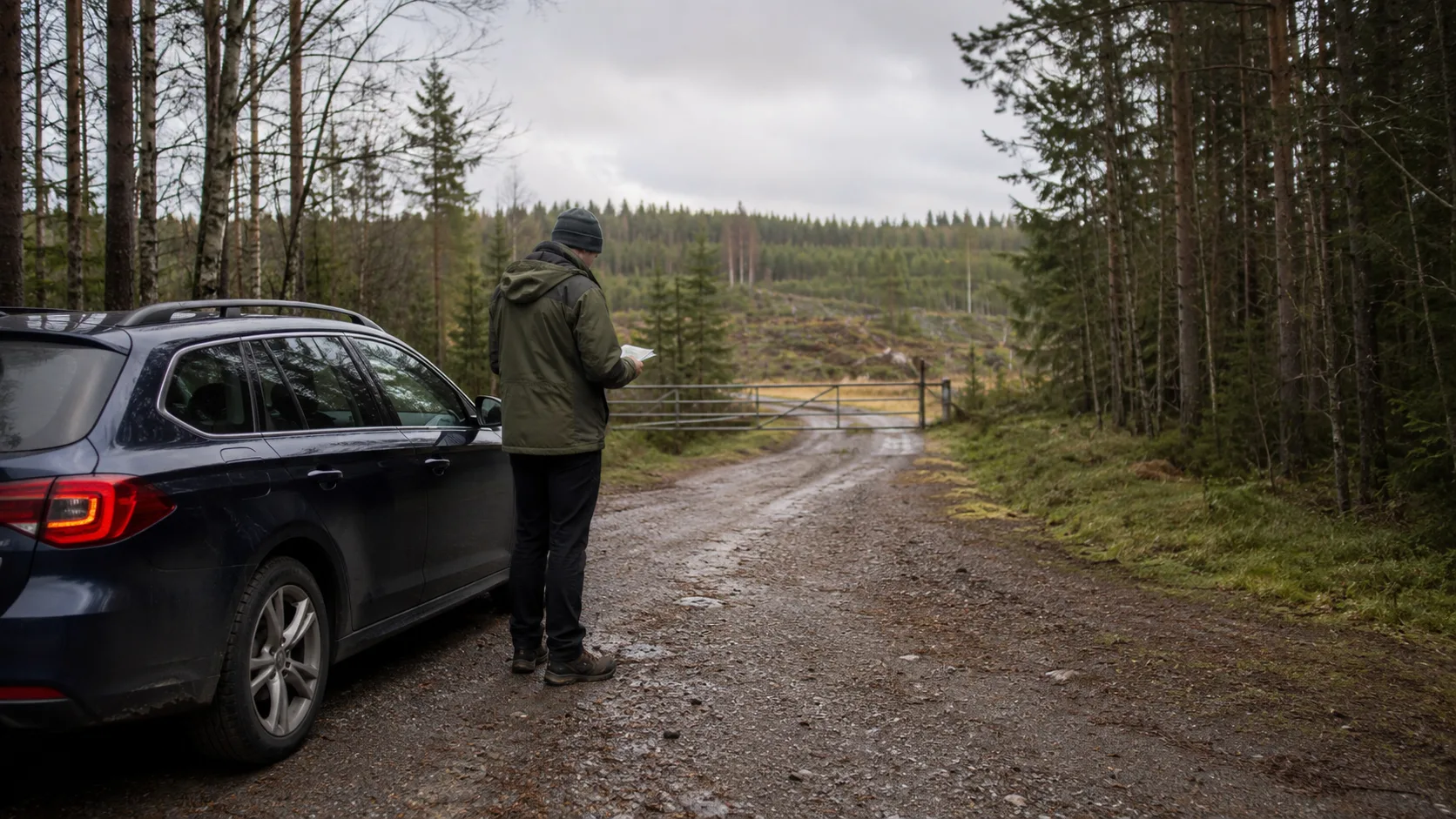
You leave the main road, follow narrowing gravel and search for last summer's perfect lake clearing. After three wrong turns, a new barrier and a timber-filled turning area, the exact access has vanished. A reliable private map would have prevented the tired search.
Public databases can expose sensitive places to sudden pressure, wear, rubbish and eventual restrictions. They also rarely contain the details that decide whether a place works for your vehicle.
A private map is not about withholding information. It protects fragile places and records sites you have assessed yourself. Knowing where somebody else stood is different from knowing what worked for you.
Record the details that decide the night
A coordinate says little about real conditions. Record whether the ground is compacted gravel, rock, sand or soil and how it behaves after rain. Note slope and any specific levelling position.
Describe access: low branches, width, soft shoulders and whether the vehicle can turn if the place is occupied.
Add shelter, likely wind direction, traffic noise, working forestry, mobile coverage and the overall sense of safety. A quiet Saturday can become a forestry route early Monday.
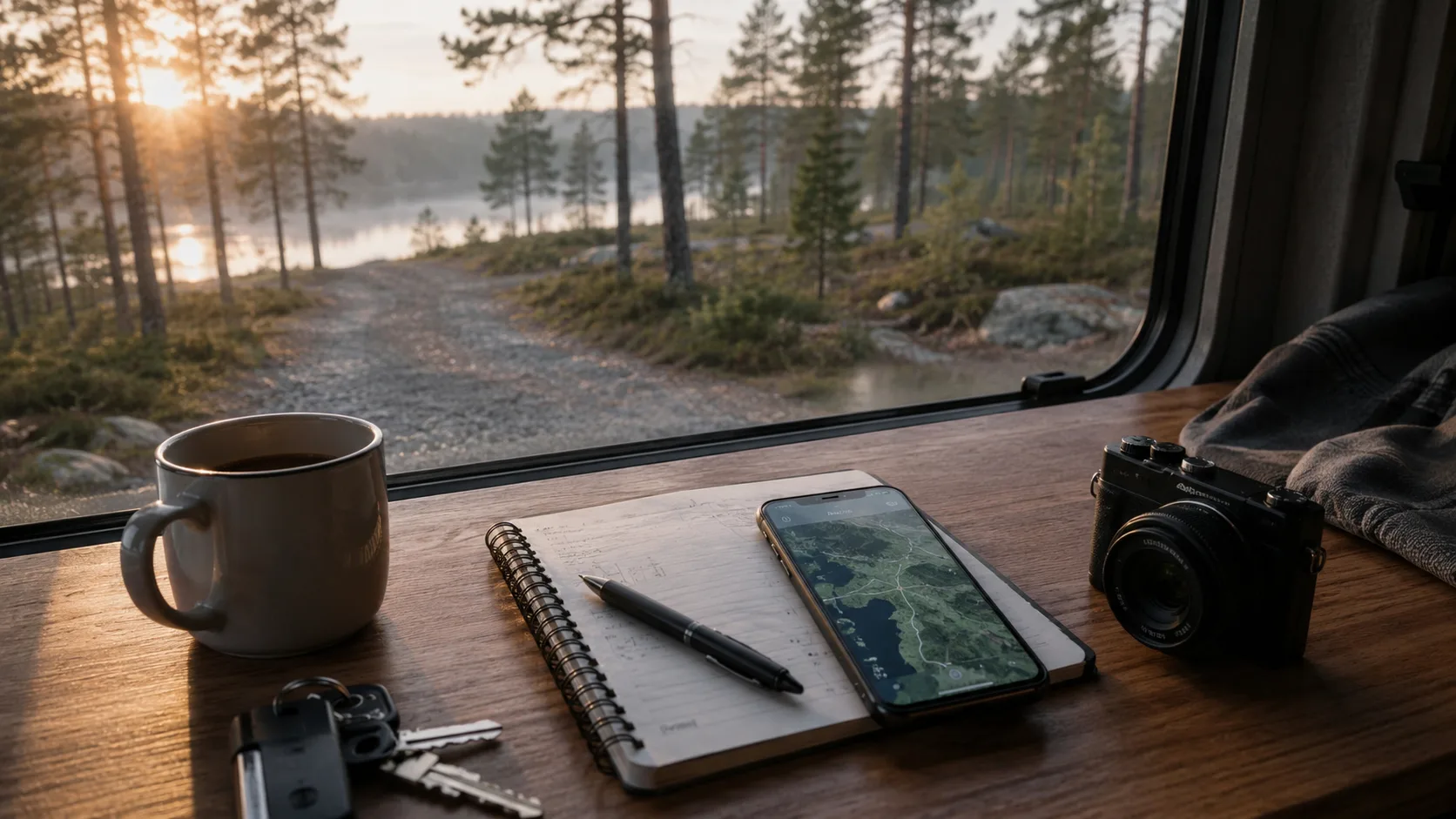
Use judgement at every arrival
A saved point never overrides current reality. Read signs and look for active agriculture, forestry, barriers and nearby homes.
Understand Swedish wild-camping rules. Off-road-driving law keeps motor vehicles off bare natural ground; local and protected-area rules can restrict overnight use further.
Leave no trace: carry rubbish, avoid damaging vegetation and use fire only where and when current rules permit it.
Log failures to save future time
A blocked dead end, loose surface, noisy gathering place or unclear sign can be as useful as a beautiful night. Mark it so a later tired search does not repeat the same detour.
Build the private archive in FARON
FARON is not a searchable public campsite database. When you log a night, the coordinate joins a specific trip, date, photographs and your own notes.
Be candid about access, coverage, ground and suitability for your vehicle. Next year, open the map instead of guessing which turn-off worked.
Combine this approach with our wild-camping app guide and guide to finding and assessing possible places.
FAQ
What should a private wild-camping map contain?
Save ground in wet weather, slope, access, low branches, turning space, wind exposure, noise, coverage and whether the place felt safe.
How is a private map different from a public app?
A public app distributes shared coordinates. A private map preserves only your own experience and does not direct additional visitors to a sensitive place.
Why should I save unsuitable places?
Warnings about barriers, soft ground, noise and poor access prevent the same mistake under time pressure next season.
How does FARON organise the places?
FARON connects each private night or stop to its trip, date, photographs and notes, then displays the history on your personal map.