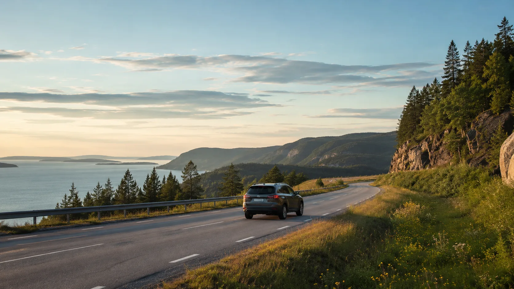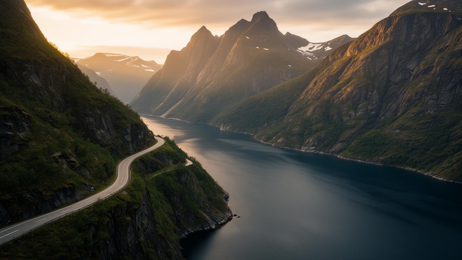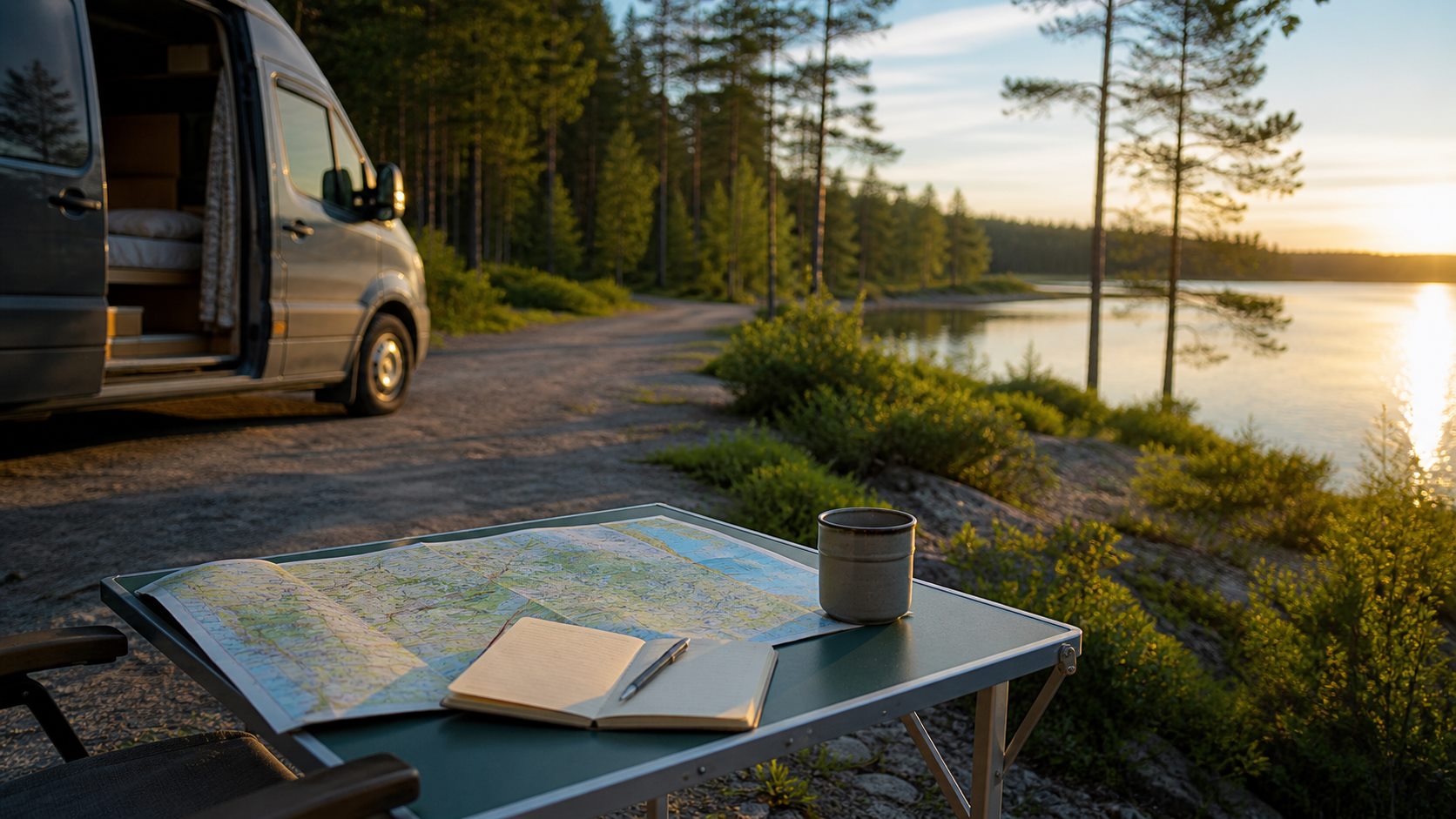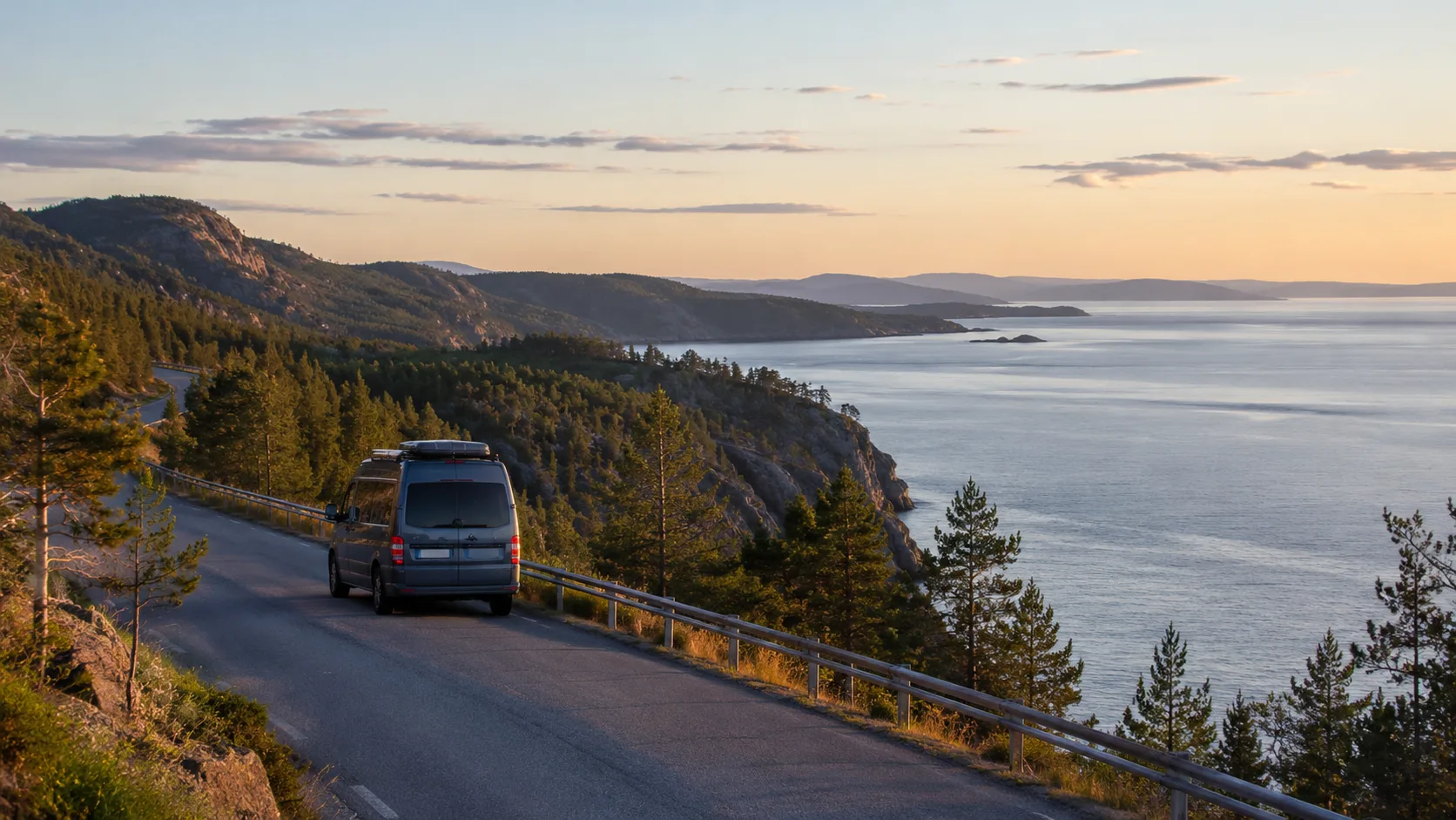
A High Coast road trip needs detours, not only the E4. The motorway connects the region, while the coastal roads, viewpoints, Nordingrå, Skuleskogen and walks create the journey.
Two or three days provide a first view. Four or five make room for weather, walking, children, slower roads and an overnight change. The UNESCO landscape preserves exceptional post-glacial land uplift, with its highest former shoreline about 286 metres above today's sea.
Use the E4 as a spine
Combine three layers: the E4 for connection, coastal detours for villages and sea, and dedicated walking stops at Skuleberget, Skuleskogen or Rotsidan. Choosing fewer places protects the day from becoming repeated parking and repacking.
The High Coast Bridge marks the southern gateway. It crosses Ångermanälven between Härnösand and Kramfors and is about 1,800 metres long. Check current traffic and maintenance before travel, especially with a tall or long vehicle.
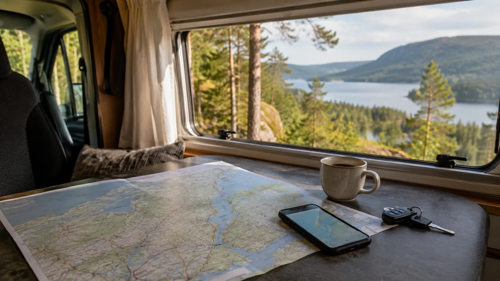
Drive a first two-to-three-day route
Day 1: High Coast Bridge to Docksta
Pause near the bridge, then continue towards Docksta and Skuleberget. A summit walk, Naturum visit or fika can consume several hours. Settle the overnight place before adding late stops.
Day 2: Skuleskogen or a coastal day
Choose one main activity. Skuleskogen's terrain, roots and wet paths deserve time, and its camping, fire, dog and vehicle regulations override general outdoor assumptions. A lighter alternative uses Nordingrå, Rotsidan and one or two coastal stops.
Day 3: the place omitted yesterday
Use the third day for Nordingrå, a harbour, a short walk or an unhurried lunch. That spare day turns a driven weekend into a road trip.
Slow the route across four or five days
Use day one for arrival and the bridge, day two for Skuleberget, day three for Skuleskogen, day four for Nordingrå and day five as weather margin or a repeat. A full hiking day should finish near its overnight place rather than chasing one more viewpoint.
Choose a stop by its purpose
Skuleskogen is for a proper walk. Skuleberget provides accessible landscape context near the E4. Nordingrå makes the roads and villages part of the experience. Rotsidan brings you close to the sea with reserve-specific rules for tents and fires.
Plan lawful nights
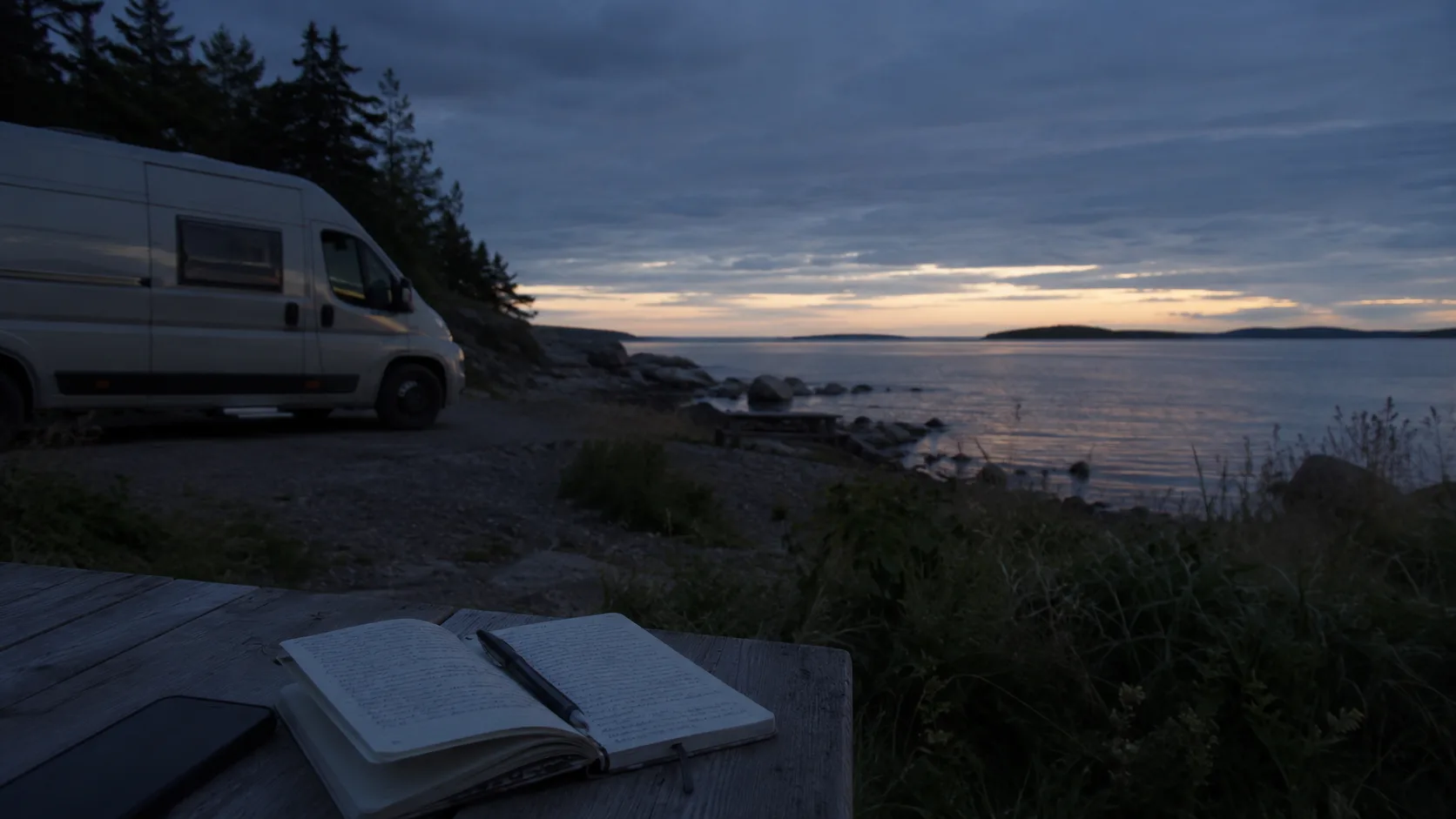
Campsites and motorhome stopovers are the practical main choices during high season or with a large vehicle. A quiet parking area is not automatically an overnight site.
Sweden's Right of Public Access does not permit a motorhome, caravan or rooftop-tent car to set up on natural ground. Protected areas add their own restrictions. Read signs at every popular entrance and avoid soft verges or blocked access.
Allow for season, gradients and traffic
Summer offers broad services and crowds. Spring and autumn are calmer but bring wet trails, cold evenings and variable opening. Winter requires traction and mountain-walking judgement even when the main road is clear.
Short map distances can include steep roads and long walks. Check current E4 and bridge information, then add genuine time for weather, parking and tired legs.
Save the route that worked
Record the bridge approach, overnight place, wind, level ground, trail entrance and Nordingrå road that fitted the vehicle. The famous landmarks are easy to find again; the useful coastal pause is not.
Keep those details on FARON's private trip map, including places worth avoiding next time.
Frequently asked questions
How many days does a High Coast road trip need?
Two or three provide a first route; four or five give walking, coast and weather enough margin.
Can I drive it with a motorhome or caravan?
Yes. Book or verify overnight places in high season and allow extra time on narrow coastal roads.
Is the High Coast Bridge a stop or transport?
It is both a landmark and gateway; pause nearby and check current traffic before crossing.
May I wild camp with a rooftop tent?
Not freely. The vehicle must remain where parking and overnight use are permitted, with protected-area and local rules observed.