
It is after eight, and the lakeside place that looked perfect on the satellite image is blocked by a new barrier. You have driven too long, energy is fading and dinner is overdue. This is where a rigid timetable and a flexible route reveal their difference.
Planning vanlife in Sweden is rarely about deciding where the vehicle must stand at 6 pm every day. It is about understanding landscape, infrastructure and your own needs: where to go when plan A fails, where to refill before the tank is empty and how to leave time for slow inland gravel roads.
Sort ideas into experiences, services and possible nights
A workable route starts with loose candidates: a swimming place, viewpoint, harbour, ferry rest area or sheltered district for poor weather. They are options, not compulsory bookings.
Separate places you want to experience, practical service stops and possible overnight stays. A viewpoint can justify a detour but make a poor night; an anonymous water point can be essential without becoming a memory. Save places for later and build a network of alternatives.
Previous experience improves that network. A night that worked two years ago becomes a safe backup, while a “want to visit” place can enter the route once the journey takes shape.
Leave margins for long Swedish distances
Beyond southern Sweden, minor roads, wildlife, forestry traffic and changing surfaces demand more attention than distance alone suggests. A 300-kilometre day can become exhausting when a waste point takes two hours to find.
Create service windows around food, water, fuel, rubbish and rest. Add backup nights that are acceptable rather than spectacular, so tiredness can shorten the day without collapsing the plan.
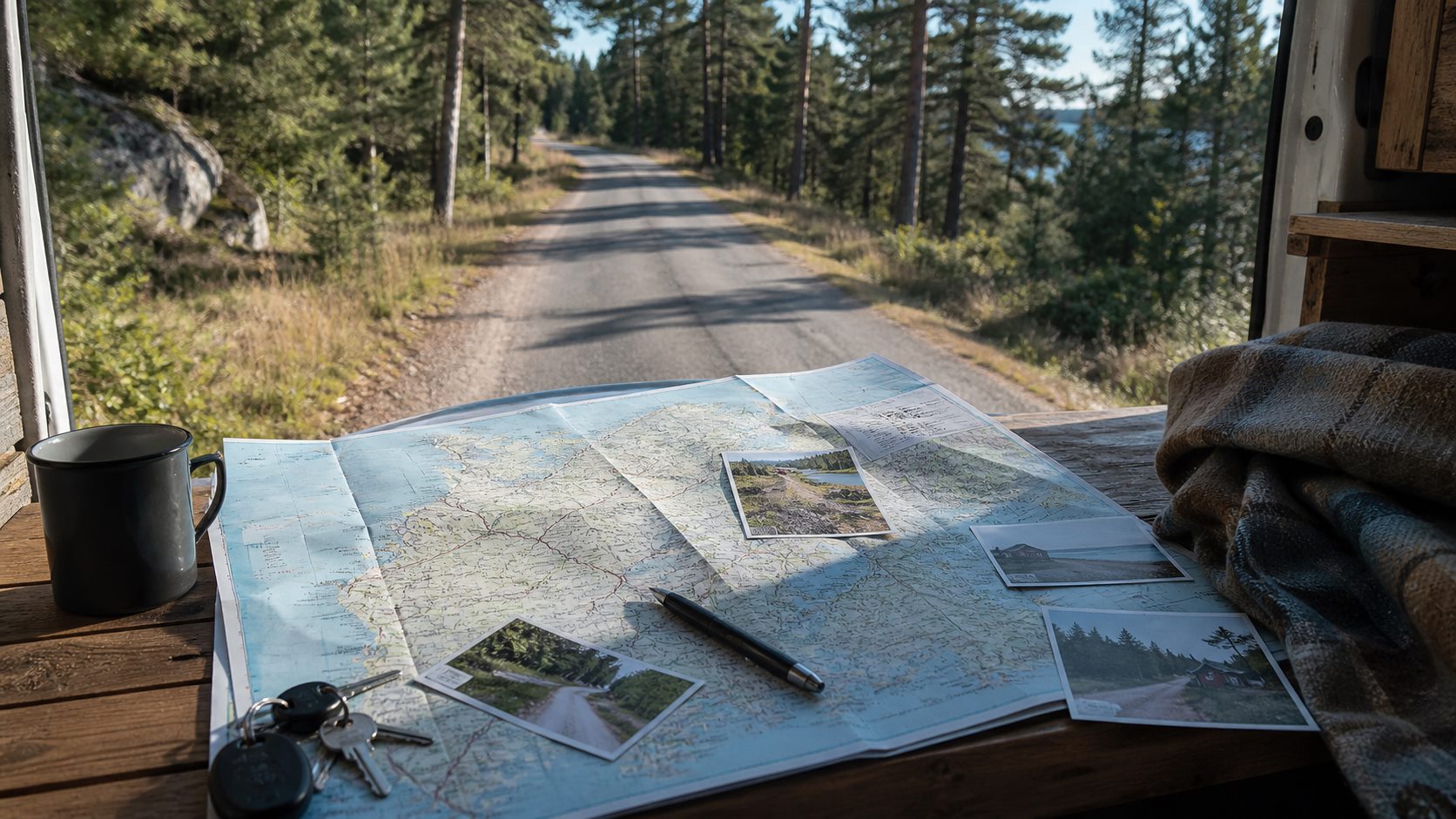
Build depth into coastal routes
A beautiful coast in calm sun can be uncomfortable in horizontal rain and strong wind. Keep inland, forested alternatives and be willing to choose a campsite for drying space and electricity.
Coastal geography also hides ferries, bridges and long detours between points that look close. Mark decision points before reaching the quay. You need not select every departure weeks ahead, but the plan should show where flexibility ends and a crossing controls the day.
Prepare offline maps and a private departure guide
Coverage is generally useful along main roads but can fail in mountain regions, forests and parts of the coast. Download an offline map for the trip before leaving stable coverage and confirm that stops and route choices remain visible.
A private PDF travel guide can collect planned places, ferries, backup nights and preparation checks. The purpose is not a timetable that must be obeyed; it is a set of alternatives that reduces tired decisions.
Let service needs guide the route
Water, toilets, showers, rubbish and a calm pause often influence vanlife more than famous sights. Deal with services during the day, then choose a lawful overnight place that does not need facilities.
The Right of Public Access does not mean unrestricted vehicle parking. Read signs, check local rules and landowner restrictions, and move when the place is unsuitable.
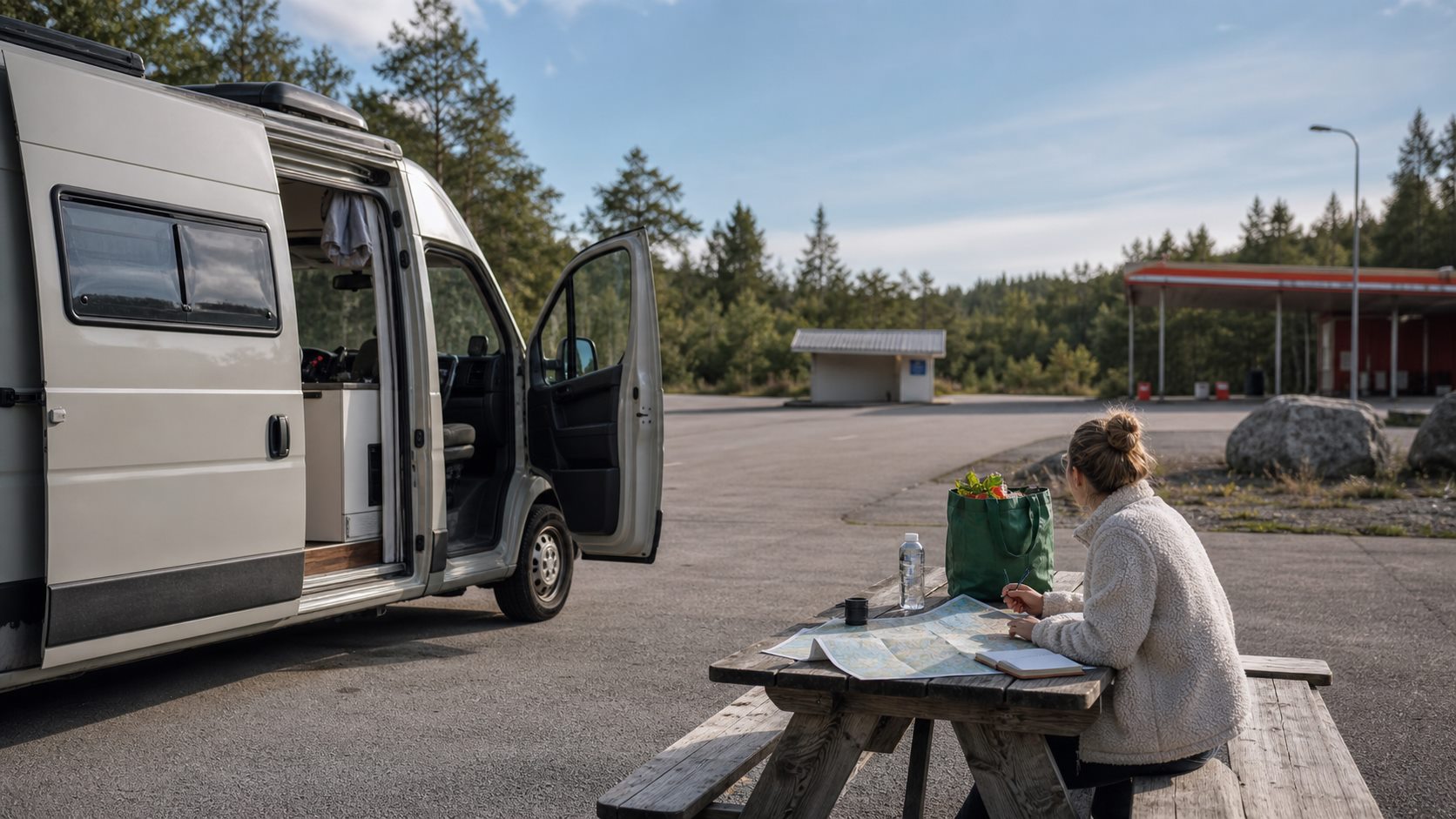
Keep plan and experience together
In FARON, collect places you want to visit, previous favourites and possible backups. Move them into an upcoming trip with stops, nights, ferries and preparations.
During the journey, save what actually happened: the unexpectedly good place, slow road, demanding ferry margin or service point that rescued the day. FARON is not an automatic GPS tracker, legal guide or public catalogue. It is your private evidence for the next route.

FAQ
How do I plan a Swedish vanlife route without becoming rigid?
Choose a broad direction, add service points and save several possible stops. Keep at least one backup night for every longer driving day.
What matters when preparing offline maps?
Download them on a stable connection and test whether planned stops, nights and roads remain visible. Offline maps do not replace signs or local rules.
How should ferries affect a coastal route?
Mark crossings, bridges and detours early, leave time around ferry segments and check current departures close to travel.
Does FARON replace local rules and signs?
No. FARON preserves plans and personal experience; you remain responsible for signs, local rules, landowner restrictions and current traffic information.