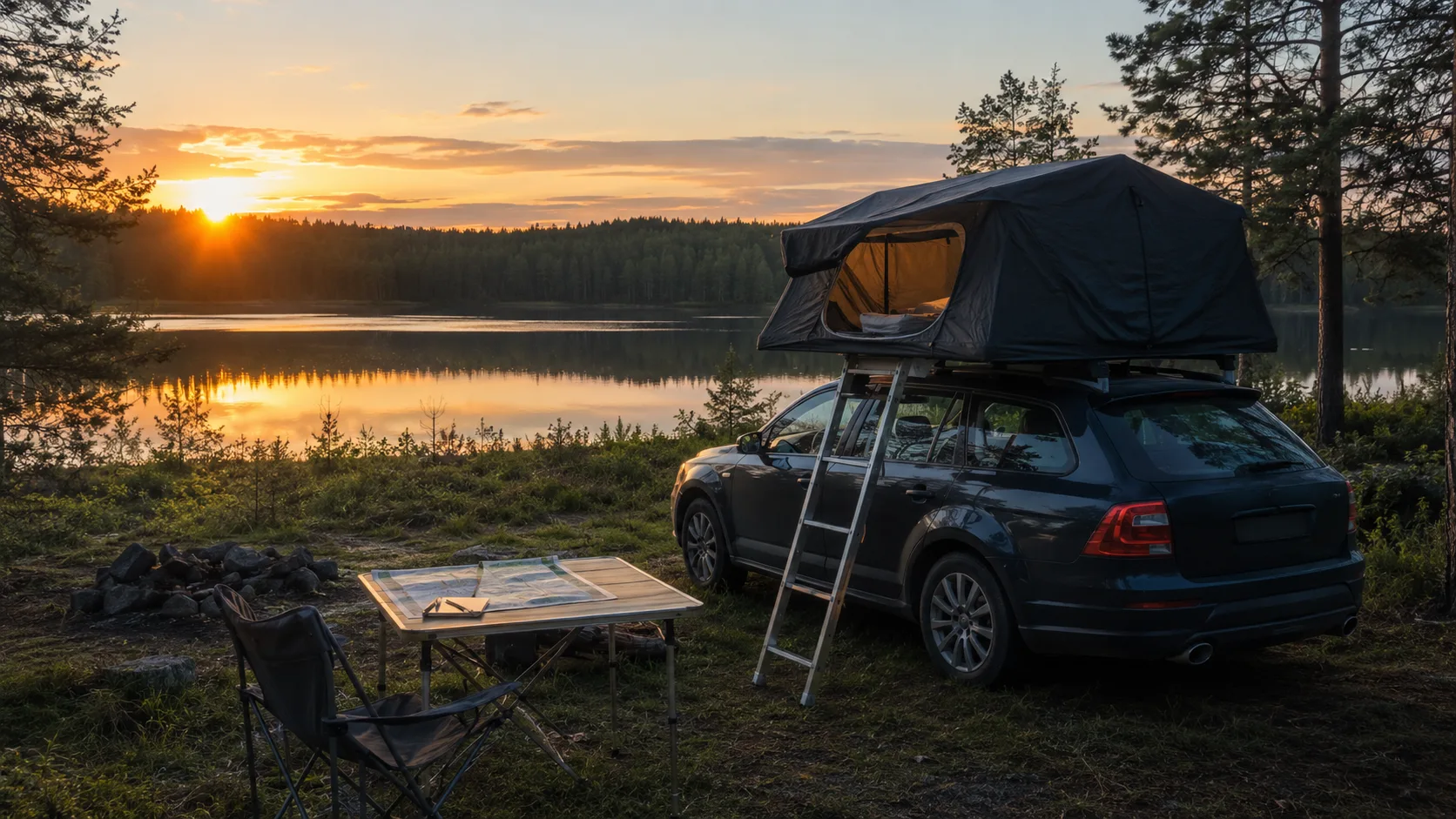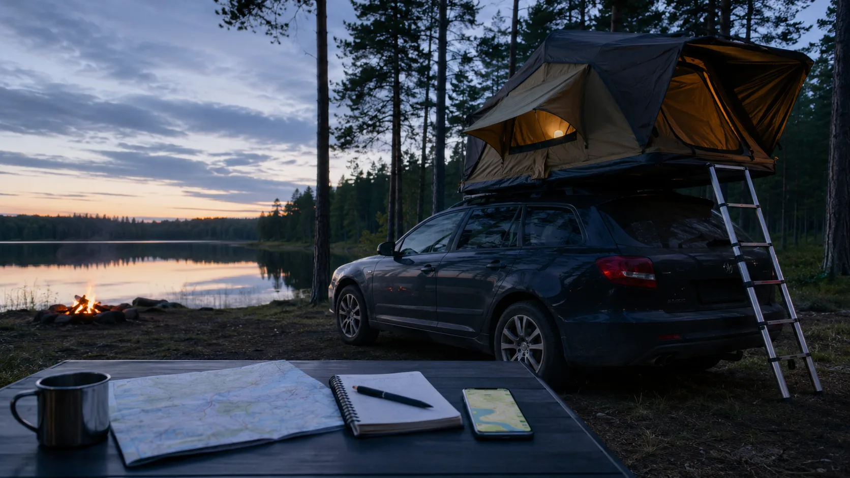
At dusk on a Halland forest road, every forestry turn looks alike. The perfect hard, level place from last spring is difficult to recognise — until you remember the ditch, overgrown entrance and mosquitoes that made you reject it in summer.
A useful rooftop-tent app does more than expose popular public pins. It becomes a private memory of the nights, places and mistakes that belong to your vehicle.
Save more than a coordinate
A map can show a turning area but not its slope, ladder space or whether opening the tent blocks the road. Record which direction to park, how the ladder stood and what the vehicle could clear.
Wind changes the value of a viewpoint. A dramatic coastal cliff may shake all night, while an ordinary forest bay stays quiet. Save that difference rather than only the panorama.
Keep the details that decide the morning
Morning shade can prevent a 05:00 greenhouse. Firm grass can become mud after rain. Branches may scrape the hard shell on the entrance. Those small facts are the reusable part of the night.
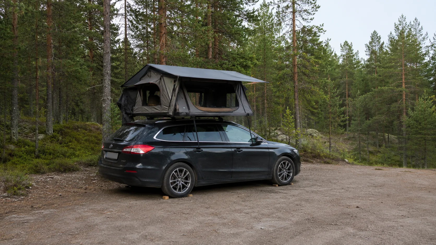
A rooftop tent remains attached to a motor vehicle. Sweden's Right of Public Access does not authorise driving or parking off-road. Check signs, local rules and land use, and never block forestry or emergency access.
Separate public catalogues from private memory
Public campsite and place apps are helpful for a service point or urgent lawful alternative. Popular coordinates can also become crowded, damaged and eventually closed.
A private archive keeps the quiet place without broadcasting it. It should also retain failed places: dry-weather only, unexpected road noise, low branches or no safe turning room.
Connect packing and season to the place
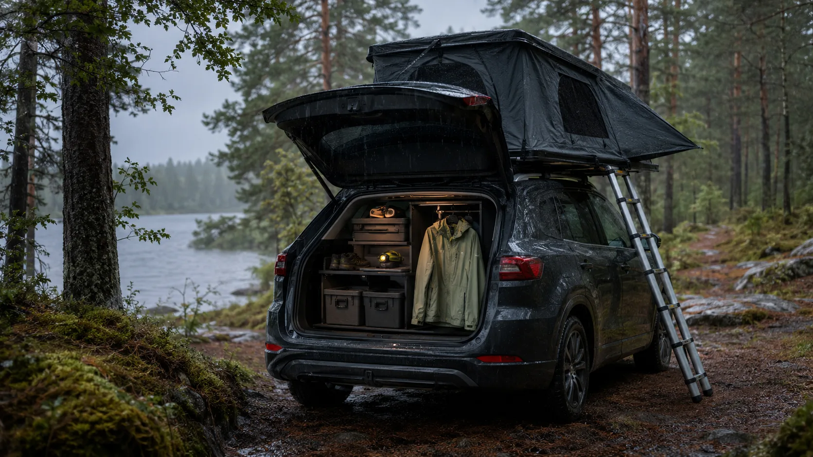
Save how wet equipment was handled, whether the ladder feet sank and which box needed to be reached during rain. The same coordinate can work in May and fail in July because vegetation, insects, wind or ground changes.
Use FARON as the private layer
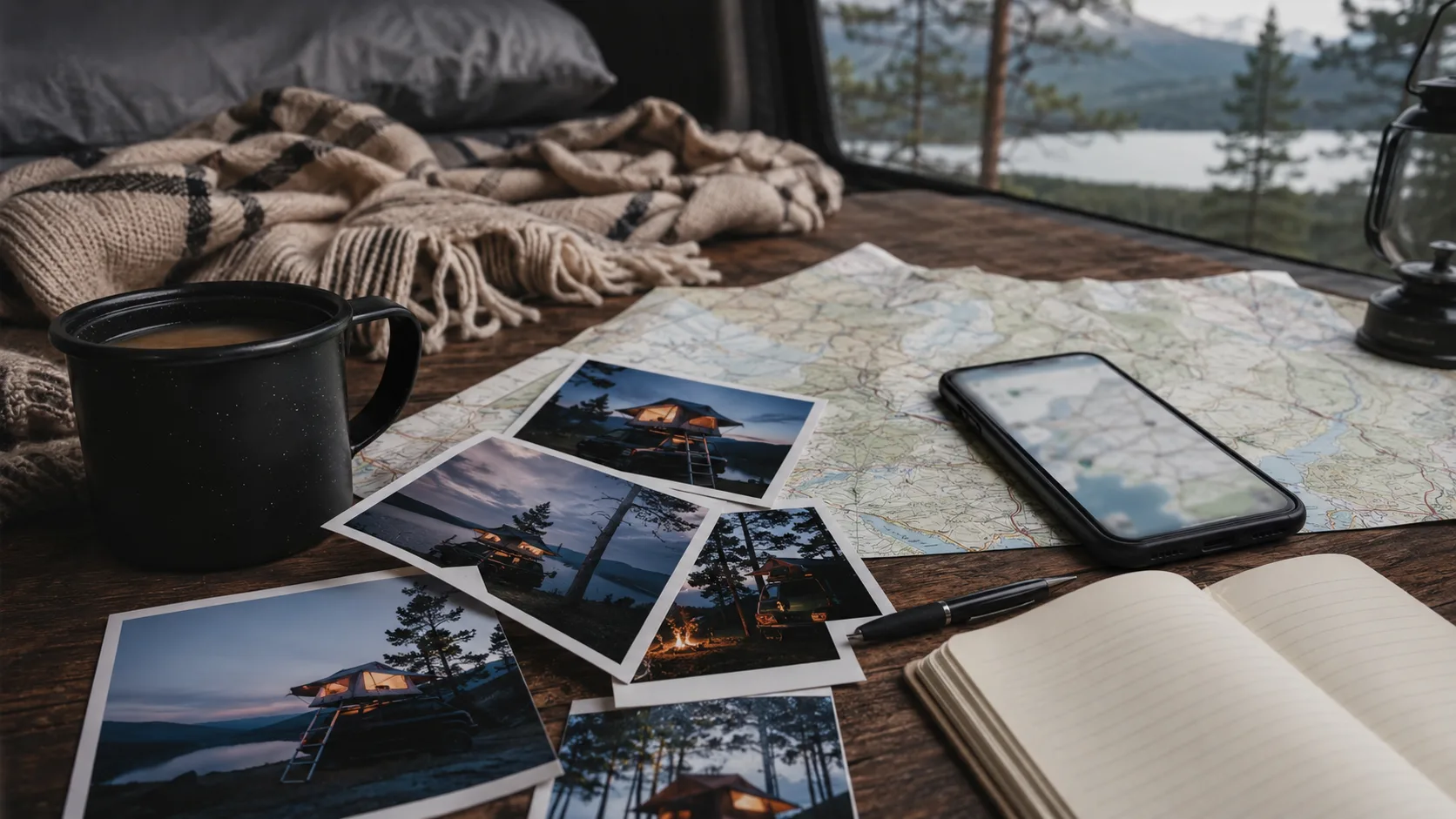
Log the night through Log overnight stays and keep the image, position and lesson together on the trip map. Over time, favourites and avoids form a map adapted to your tent and car.
For the first setup and place checks, continue with the beginner rooftop-tent guide.
Frequently asked questions
What should a rooftop-tent app help with?
It should preserve your places, images and notes about slope, ladder space, wind, surface and access.
Is an ordinary map or camping app enough?
It can find roads and public sites, but usually lacks the private vehicle-specific experience attached to each night.
How can I save places without publishing them?
Use a private travel archive for coordinates, photographs, favourites and avoids rather than contributing them to a public catalogue.
When does FARON suit rooftop-tent travel?
It suits travellers who want to remember their own nights, routes, packing choices and place conditions privately over time.