Divide an Öland road trip into north and south. Allow at least two or three days if you want more than the bridge, a few rapid stops and the drive home.
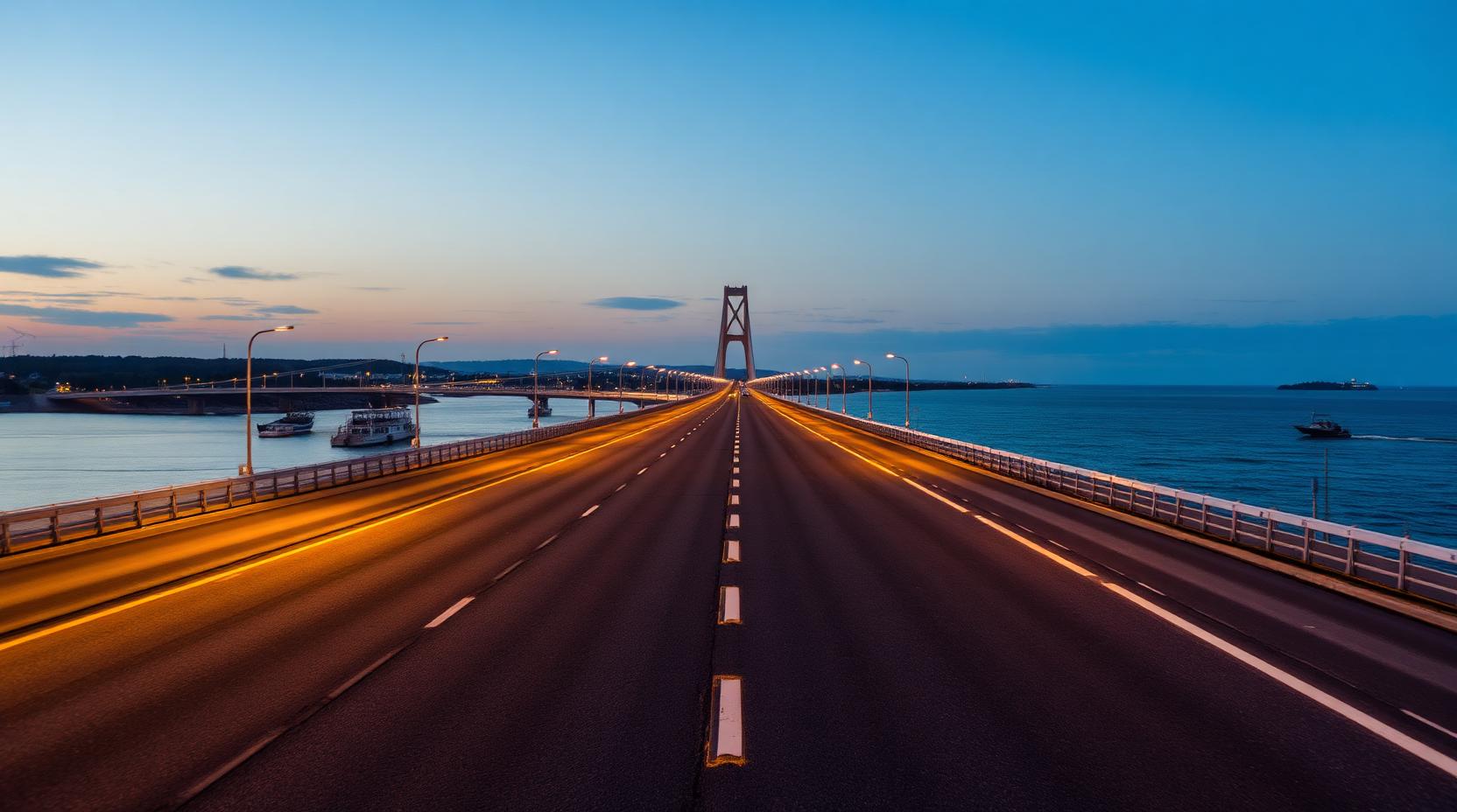
Öland Bridge reaches Färjestaden near the middle of the west coast. Choose Borgholm, Böda, Byxelkrok and Trollskogen to the north, or Mörbylånga, the Great Alvar, Eketorp, Ottenby and Långe Jan to the south.
Road 136 is the spine, not the complete island. Harbours, coastal roads, linear villages and the alvar live on the side roads.
How long is Öland from north to south?
Öland is 137 kilometres long and up to 16 kilometres wide, according to the official visitor brochure. These are the island’s geographical dimensions. Your driving distance depends on where you start, the roads and detours you choose, and where you spend the night.
If you start in Färjestaden and want to see both Trollskogen and Ottenby, include both destinations and the drive to your overnight stop in the map. Look up each leg. Add your breaks. Then compare the whole day with a loop staying on one half of the island before deciding which stops fit.
With just one day, I would choose one main destination and a nearby stop: Trollskogen and Byxelkrok in the north, or Ottenby and Grönhögen in the south. That leaves time for a walk or visit between drives, while the 137-kilometre figure helps explain the choice rather than predict the day’s mileage.
Cross the bridge and choose one direction
Öland Bridge has no toll. Check current traffic, wind and Swedish Transport Administration notices before departure, particularly during summer works or with a motorhome, caravan or trailer.
Use Färjestaden for food, fuel and a weather check, then commit to one half. Treat north and south as two loops rather than crossing the island repeatedly.
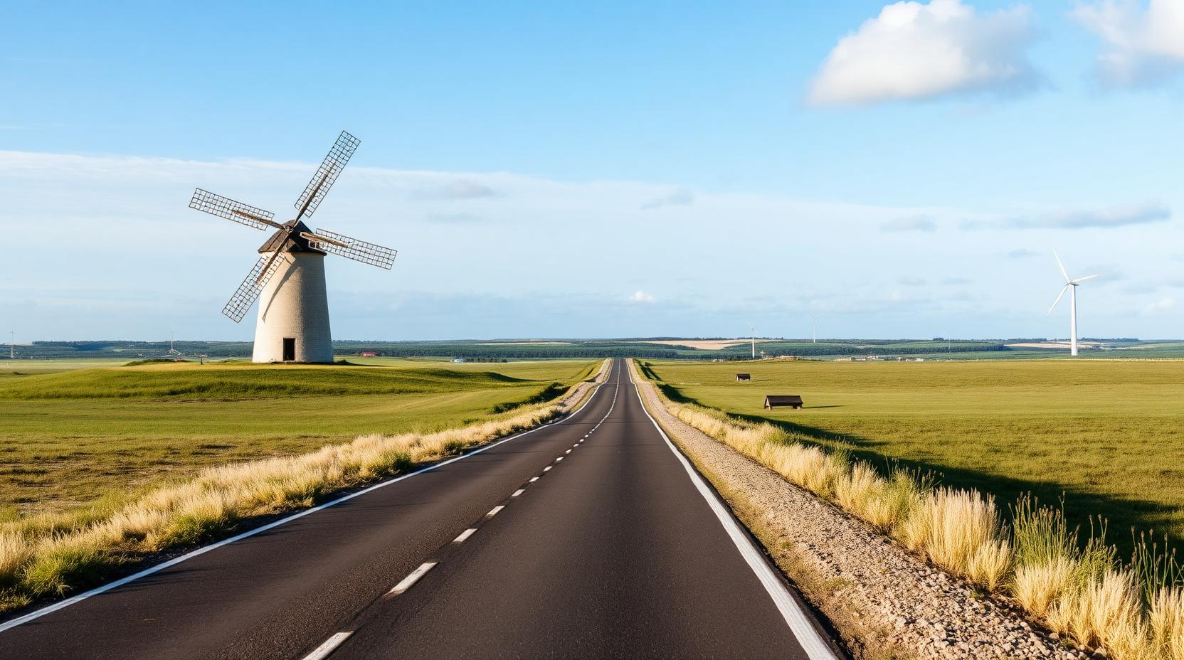
Use a two- or three-day first route
Day 1: Cross the bridge, pause in Färjestaden and travel north through Borgholm. Give children fewer, longer stops and sleep in the north if Byxelkrok, Böda or Trollskogen matters.
Day 2: Finish the northern tip or move south. On the Great Alvar, leave the car for a short walk before continuing towards Eketorp, Grönhögen, Ottenby and Långe Jan.
Day 3: Choose one missed area, not every missed pin. The top ten Öland stops can supply individual options.
Slow down on northern Öland
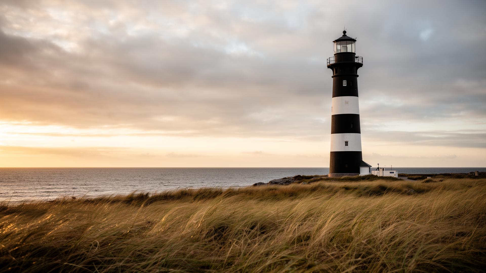
Borgholm becomes busy in July; arrive early, park once and walk. Farther north, mix Road 136 with selected coastal detours towards Sandvik, Byxelkrok, Trollskogen and Långe Erik.
Read the open landscape in the south
The agricultural landscape of southern Öland is a World Heritage Site. The Great Alvar reveals walls, grazing land and exposure only after you stop. Give the southern tip half a day rather than making Långe Jan a tired final dash.
Choose established overnight options carefully
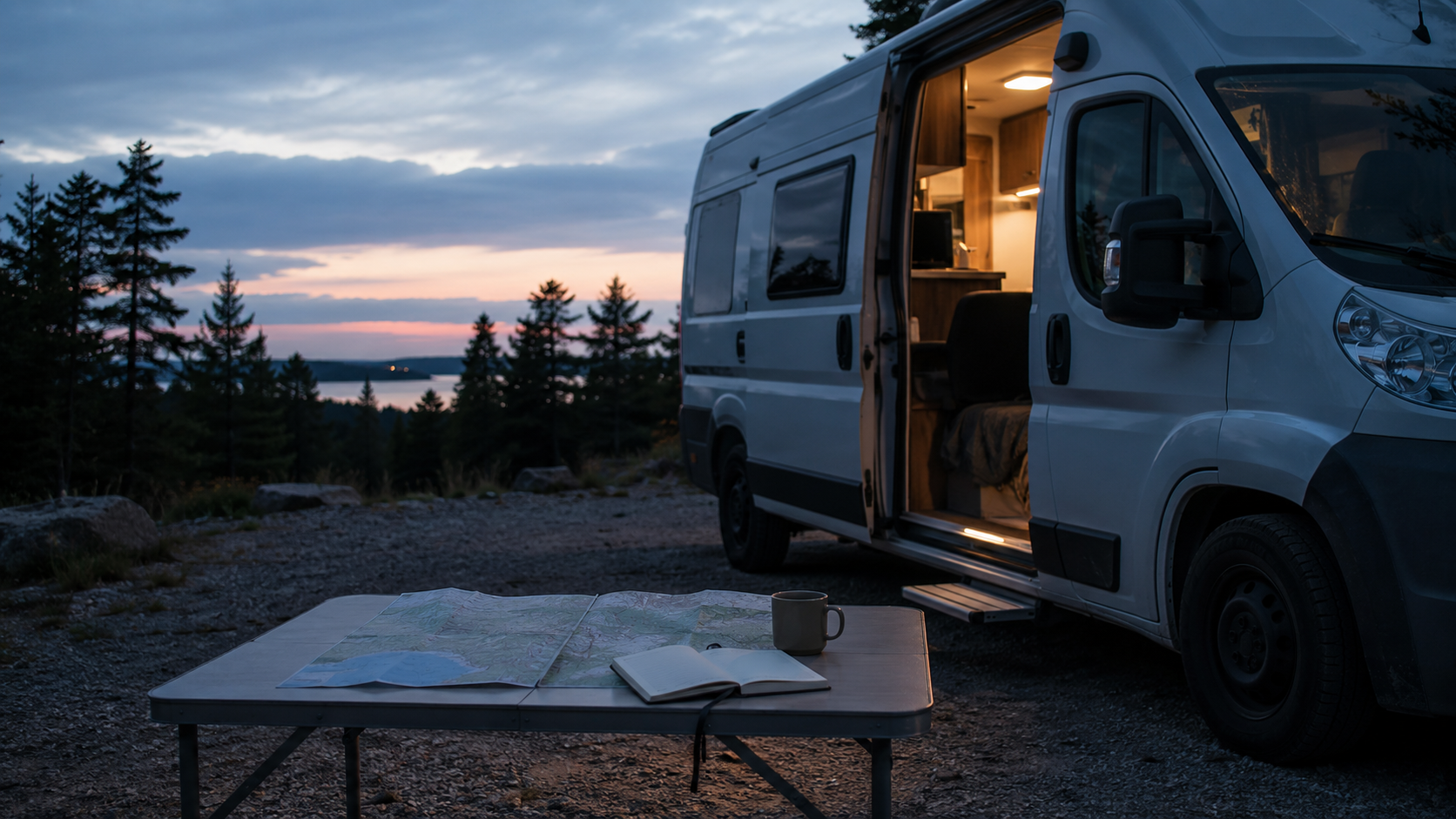
Campsites and motorhome stopovers are the practical starting point in high season. Check whether overnight use, booking, electricity, water, toilets and waste service are actually included.
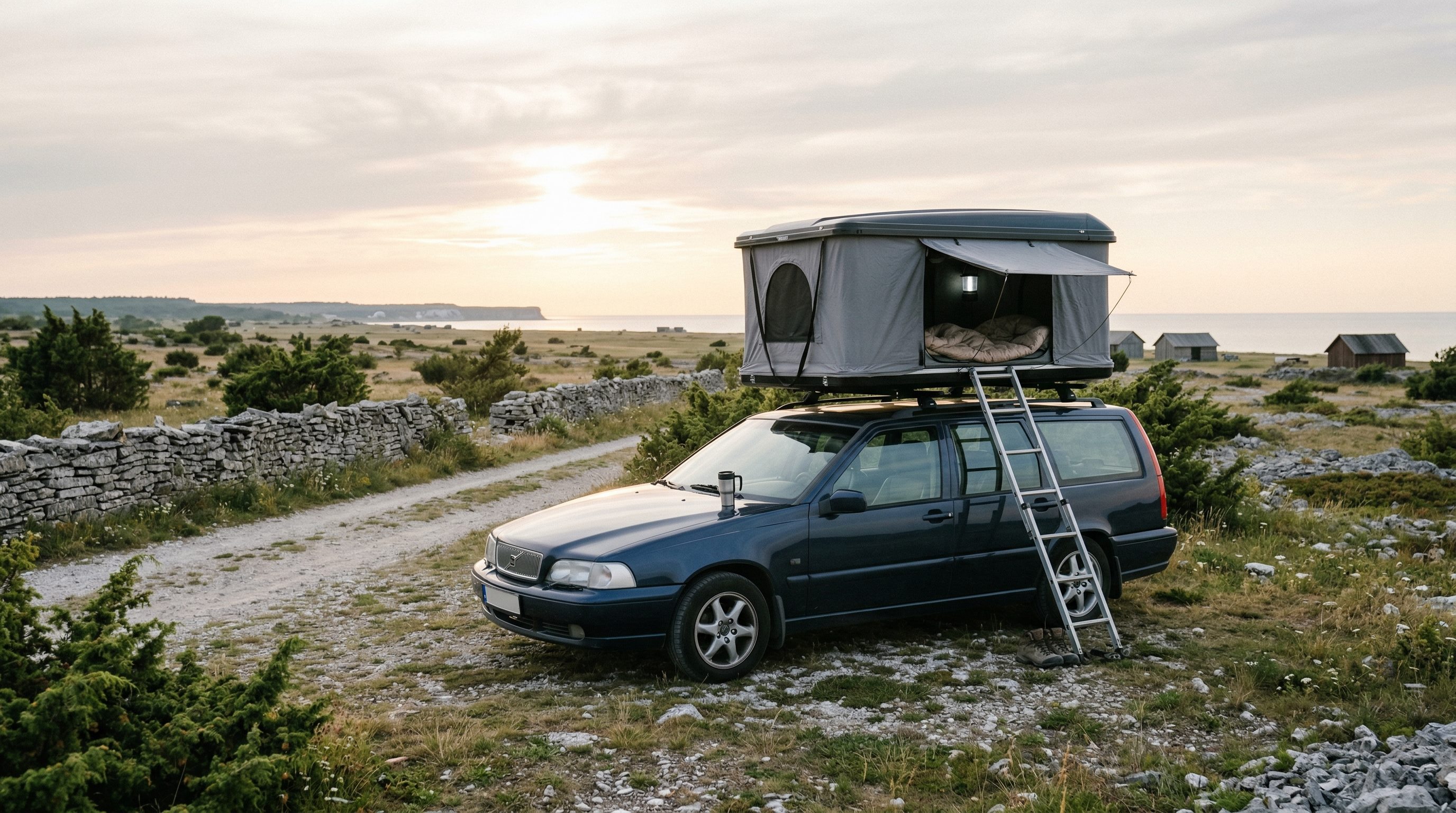
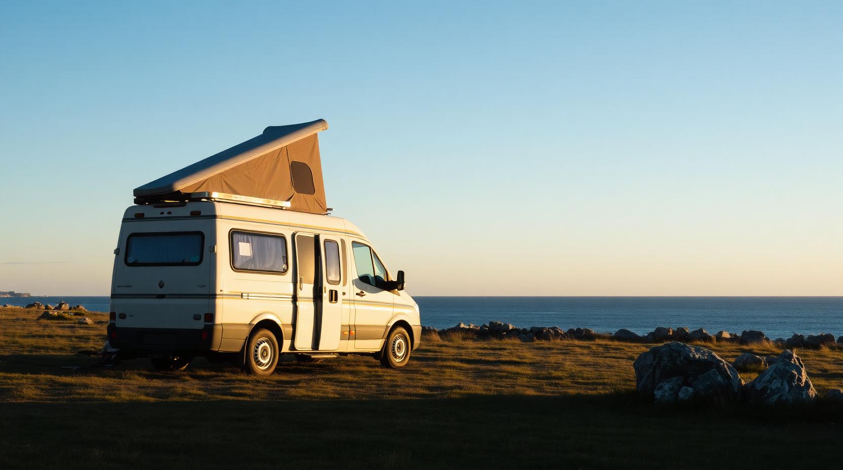
Do not assume empty agricultural land, a reserve, bathing-place car park or coastal bay permits a vehicle night. A rooftop tent remains attached to a vehicle. Signs, protected-area rules, private land and current conditions decide.
Wind, level and an easy exit often matter more than sunset, particularly for high vehicles and rooftop tents.
Match time to season and group
Two days require hard choices; three can cover both halves; four or five allow children, weather and slower stops; a week can include swimming and stationary rest days. For one weekend, choose north or south.
May, June, August and September are often calmer than July, though services vary outside peak season. Use mornings and evenings for busy bridge, Färjestaden and Borgholm traffic.
Retain your own Öland route
Save the road actually driven, the sheltered night, awkward caravan entrance, useful child pause and detour that failed. FARON is a private archive, not a public stopover database; current use must still be checked on every return.
Frequently asked questions
How many days do I need for an Öland road trip?
Allow at least two or three days for both halves; four or five is calmer with children, a motorhome or rooftop tent.
Should I begin with northern or southern Öland?
Choose north for Borgholm, coastal roads and Trollskogen, or south for the Great Alvar, Eketorp, Ottenby and Långe Jan.
Can I wild camp on Öland with a motorhome or rooftop tent?
Do not assume it: start with established campsites or stopovers and obey signs, protected-area rules, private land and local restrictions.
How long is Öland from north to south?
Öland is 137 kilometres long. That is its geographical length; calculate your driving distance between the stops and overnight places you choose.