A good roadside stop is not the one with the most stars. It is the one that fits before today's real arrival time. At 13:40 on the E4 north of Gävle, a twelve-kilometre detour appears in the plan. Its value depends on the complete stop, not those twelve kilometres.
Search the road corridor, not all of Sweden
Begin with the route and the time available. Between Gävle and Sundsvall, search along the E4 and perhaps fifteen minutes to either side. Widen the corridor for a free half-day; narrow it when check-in is forty minutes away.
Time is more useful than a fixed radius. Five urban kilometres may take longer than fifteen on a rural road, while a caravan makes the narrow final approach more important than it appears in a map app.
Give every candidate one of three roles
The main stop may take time: a museum, walk or cultural landscape worth a later lunch. The backup stop needs simple access, little scheduling risk and the option to leave after twenty minutes. The third candidate belongs to the next journey.
That final category matters. An interesting place does not need to enter today's schedule merely because the car passes nearby.
Test the method on the E4
The following times are fictional planning figures. The real places were checked on 14 August 2026, but this example is a method, not current navigation.
Maja and Oskar drive their van Vera from Gävle towards Sundsvall and want to arrive by 18:30. At 13:40, their example plan shows 205 kilometres remaining. They have found Axmar Bruk, Söderhamn's aviation museum and Avholmsberget.
| Candidate | Extra time | Decision |
|---|---|---|
| Axmar Bruk | 55 min | Backup stop |
| Söderhamn aviation museum | 1 h 45 min | Remove today |
| Avholmsberget | 2 h 20 min | Save for later |
The figures include the detour, parking, walking, the visit and a small margin. The museum is attractive but its checked closing time makes the day a poor fit. Popular stop. Wrong day. Save it.
Axmar works for a short walk. The planned 55 minutes become 90 because they stay longer than expected. Arrival is still possible, but the margin has gone: there will be no second attraction that day.
Short stop. Quick decision. A larger time margin lets a small detour become the day's best moment without making the evening a recovery drive.
Find candidates in sources you can verify
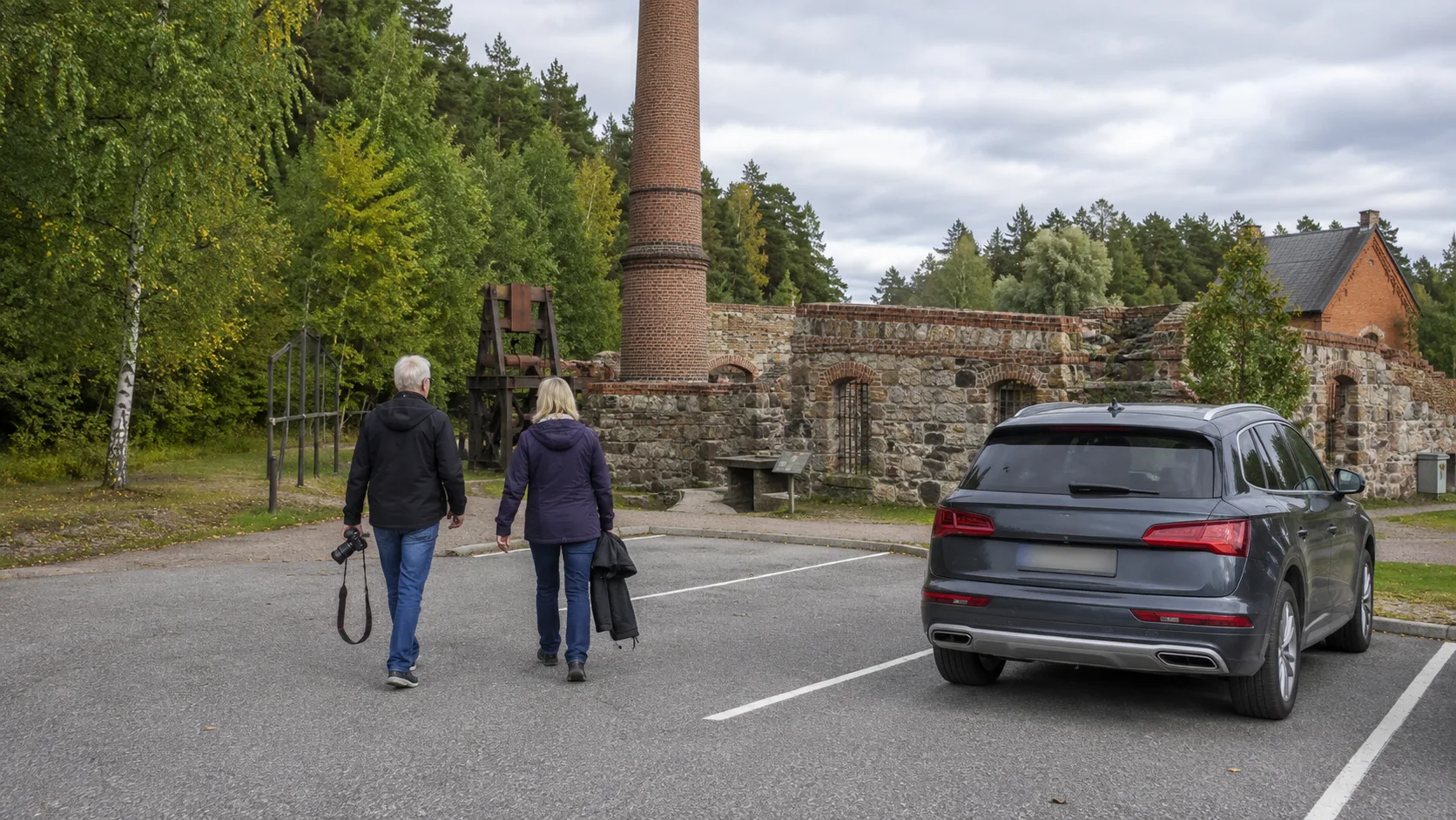
Municipal and regional visitor sites are useful for small museums, industrial heritage, viewpoints and places that never dominate national lists. Sweden's Fornsök register adds known archaeological and cultural remains, but a map record does not promise a road, parking or suitable public access.
The Swedish Environmental Protection Agency's Protected Nature map can show national parks, reserves and access restrictions. Then read the specific regulations and current information from the responsible County Administrative Board or national park.
Map apps and reviews still generate ideas. Their “open” label is not enough when the day's route depends on the door actually opening.
Verify the stop on the same day
Once a place becomes a real candidate, replace “does it look interesting?” with “does it work today?”. Check opening times and temporary changes with the operator. Use the Swedish Transport Administration for roadworks, restrictions, road conditions and ferries.
Inspect the final approach. Height limits, a turning area, parking dimensions and surface matter increasingly with a long motorhome or caravan. Weather can turn a viewpoint into a poor one-hour detour and make a museum the better choice.
Ask four questions about the detour
First, what is the complete extra time from the main route and back, including parking, walking and visiting? Second, how simple is access for this vehicle?
Third, what is the value for this group today? Children, a dog, limited mobility and four previous hours in the car change the answer. Fourth, what happens to the evening if the stop takes thirty or sixty minutes longer?
If that delay breaks a timed check-in or produces an uncomfortably late arrival, the stop is not as spontaneous as it appeared.
Treat “hidden” as a clue, not a quality mark
A registered historic site may lack parking. A nature area may have seasonal bird protection. A small road may be private or unsuitable for a large vehicle.
Do not collect or spread exact coordinates for sensitive natural and cultural sites without context. Find the candidate, consult the responsible source and obey signs and local regulations.
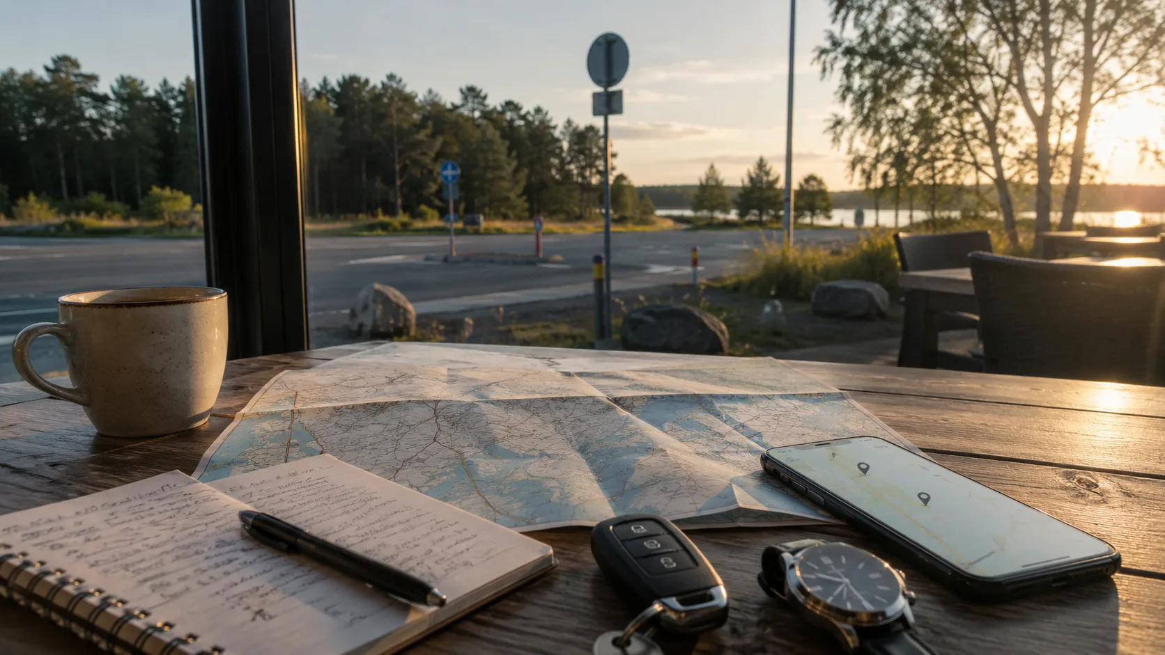
Save what the map will not explain next time
Maja and Oskar's fictional Axmar entry records 90 minutes rather than the expected 55. They save the entrance, parking space for Vera, surface, crowding, weather and the conclusion that it was still worth the detour.
Put future ideas in an upcoming trip. Afterwards, keep actual time, photographs and the practical note in FARON's private archive. The digital travel-journal guide shows how little needs to be recorded, while the overnight-place guide applies a different check when the final stop becomes tonight's bed.
Sources and checking
Place facts were checked on 14 August 2026. Opening hours, roadworks, parking and access can change, so repeat the check on the day. Useful primary sources include the Swedish Transport Administration road map, Fornsök and the Protected Nature map.
Frequently asked questions
How do I find sights along a driving route?
Search a narrow corridor around the road, use official visitor and heritage sources, then verify the few real candidates with the responsible first-party source.
How long a detour is reasonable for a spontaneous stop?
It is reasonable when the complete extra time fits before arrival with a margin for parking, walking and an overlong visit.
How do I confirm that an attraction is open and accessible?
Check its current official information, road conditions and, for protected nature, the area's specific regulations on the same day.
What should I save after a roadside stop?
Save actual duration, access, parking, surface, crowding, weather, photographs and whether the stop justified the detour.